Blow Your Mind Hiking & Riding Around Bryce Canyon
Bryce Canyon National Park doesn't seem to get as much love as Zion National Park, even though they are about 78 miles from one another. It's understandable - not only is Zion bigger in acreage, but its views are more grandiose, diverse, expansive and dramatic. There's also more hiking trail miles in Zion. But the scenery at Bryce is unparalleled to anywhere else. The traffic at Bryce is also a lot more bearable than Zion.
I guess my point is don't just go to Zion National Park and bypass Bryce Canyon National Park. You'll regret it.
Boondocking at Whiteman Bench
We boondocked at Whiteman Bench, which is located in Dixie National Forest and 13 miles from the entrance of Bryce Canyon National Park. The turn off the main forest road (FS 87) onto Whiteman Bench (FS 88) was a bit tricky due to a deep ditch right at the beginning. But with some careful and slow driving we made it through with the Toaster (one benefit of a 5th wheel is its maneuverability). The area is pretty secluded except for some prairie dogs and pronghorns (they are the second fastest land mammal after the cheetah!). Whiteman Bench sits at 7,960 ft., so be prepared for cold (freezing) nights (we were there in late April) and even snow (it snowed twice during the five days we stayed there).
Our boondocking site at Whiteman Bench.
Tropic Reservoir is right down the road.
Hiking Bryce Canyon National Park
We went hiking in Bryce Canyon twice and spent one day riding Thunder Mountain Trail in Red Canyon (in Dixie National Forest). Our three hikes were: Queens Garden/Navajo Loop (2.9 miles RT), Peekaboo Loop (5.5 miles RT), and Fairyland Loop (8 miles RT). We could have combined Queens Garden, Navajo and Peekaboo into one 6.4 mile long hike, the park calls it the Figure 8 Combination, but we didn't for reasons that made sense at the time. But we don't regret doing any of the hikes the way we did.
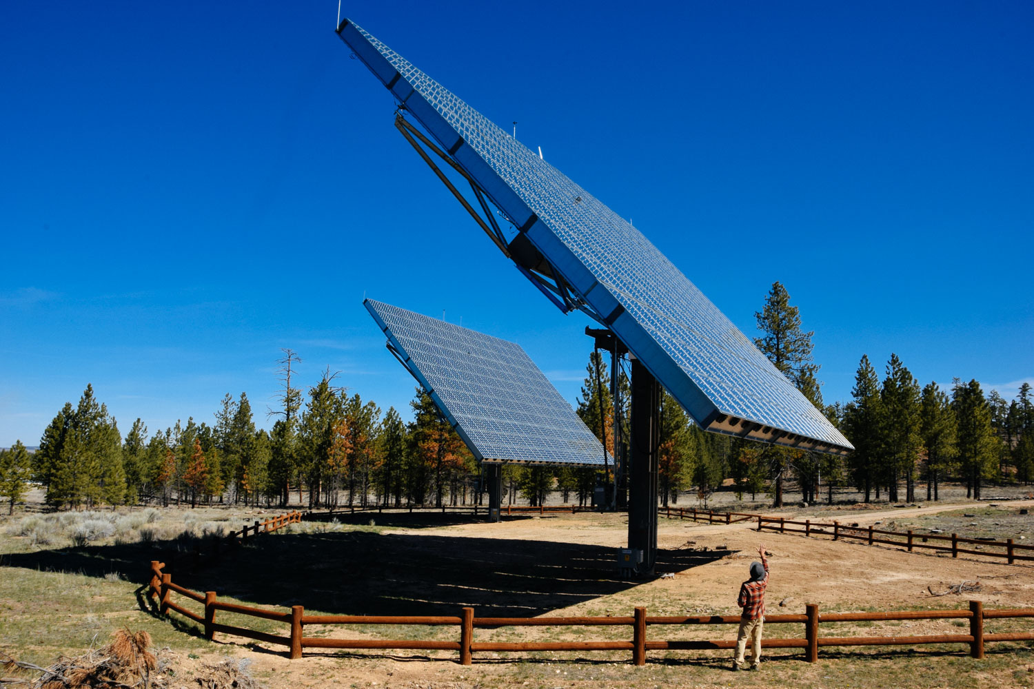
These two sets of solar panels at the visitor center are so badass! 1) They are huge! 2) They track the sun. 3) They are concentrating solar panels. Each cell in the array has a magnifying lens in front of it which the sun has to go through. 4) The panels are kept from overheating by cooling fans built into the array.
Queens Garden and Navajo Trails
Queens Garden is the most crowded of the trails we hiked on. It seems like a lot of people hike down to the area called Queens Garden, turn around, and head back up.
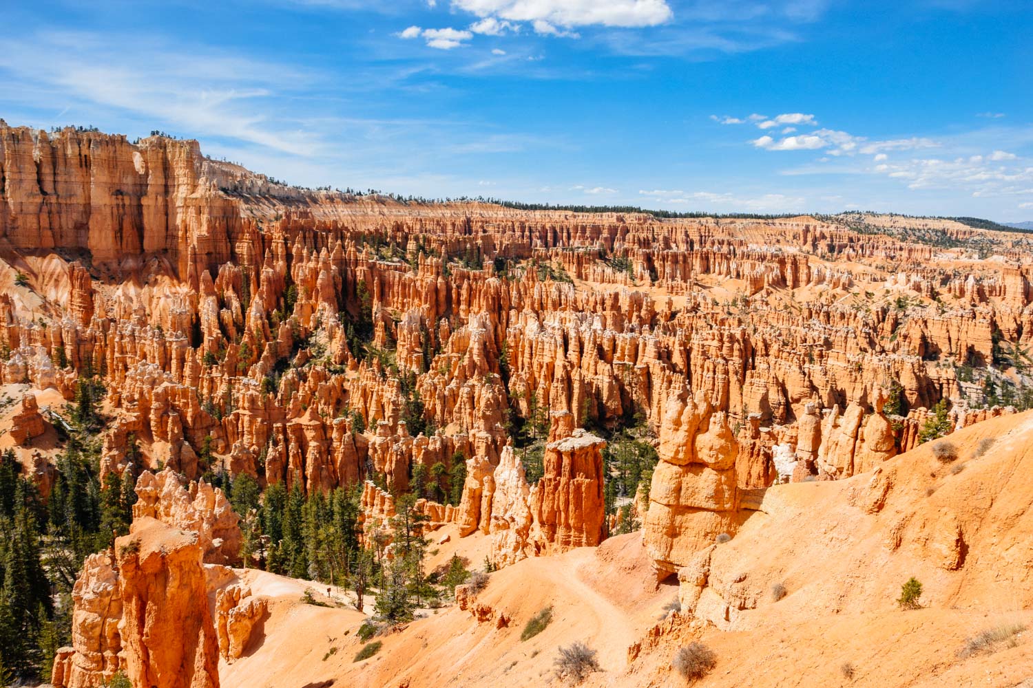
View along Queens Garden Trail.
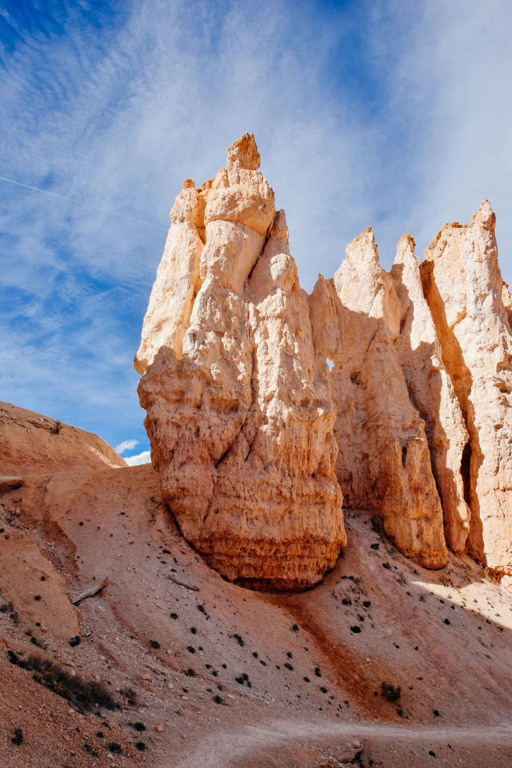
One of several doorways that you'll get to walk through hiking on this trail. Peekaboo Trail also has a couple.
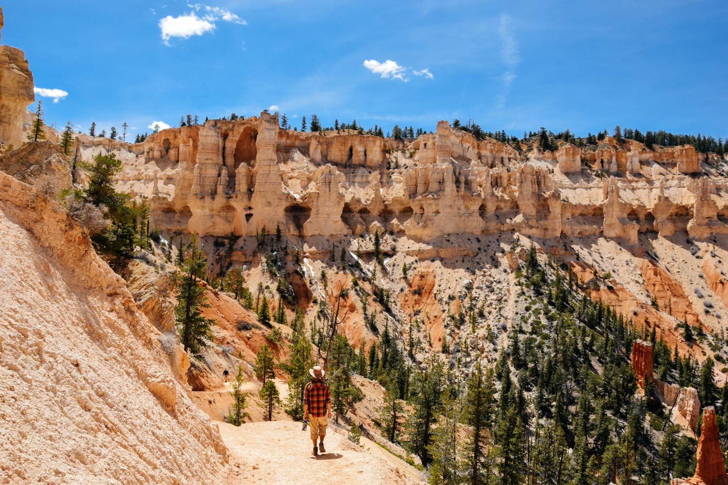
A section of Navajo Trail.
Peekaboo Loop Trail
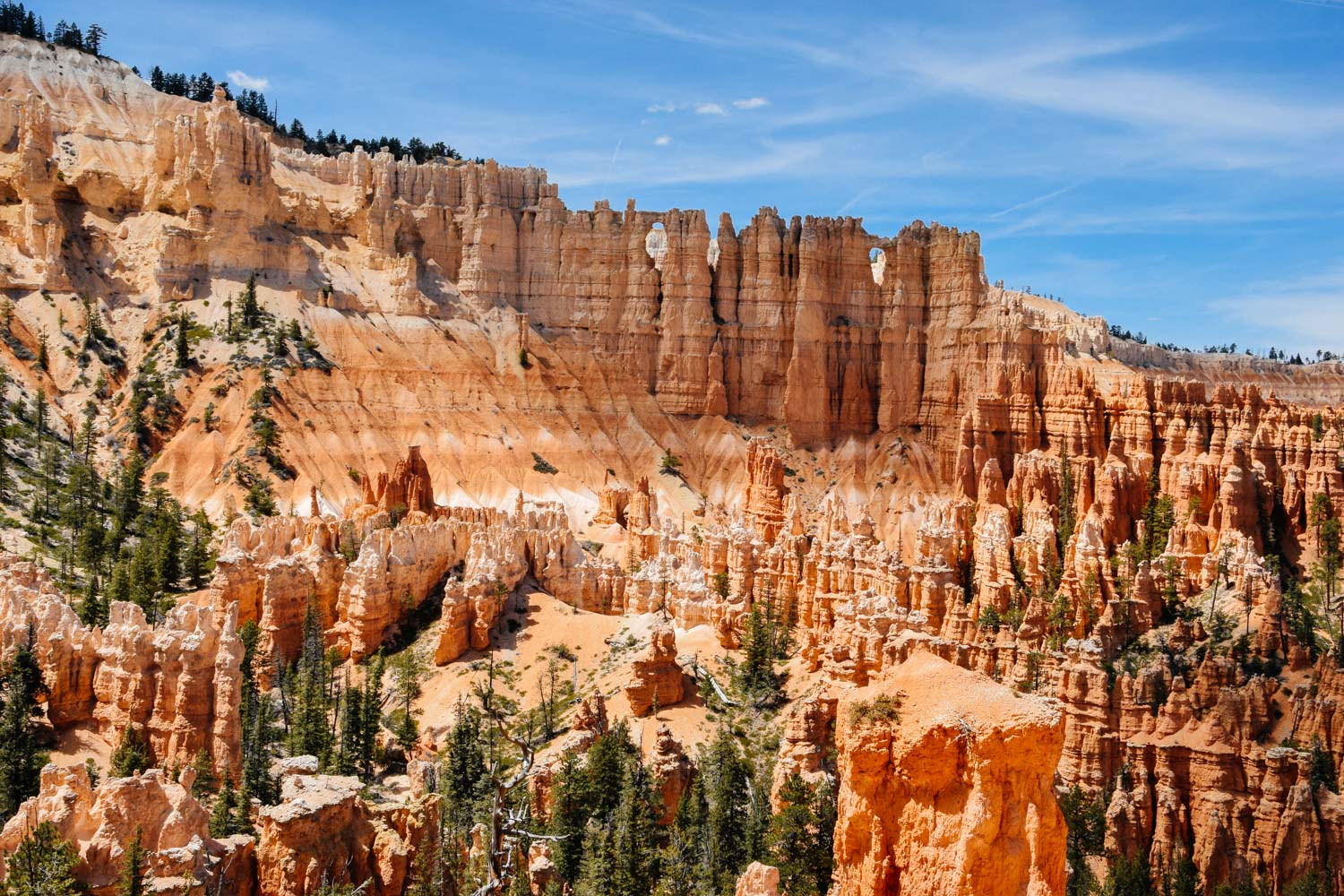
We got to see two windows in the rocks on our Peekaboo hike but the downside of that hike is that hikers and horseback riders share the same trail. We ran into the same 4 groups of horseback riders TWICE during our hike. That just meant us stepping aside and letting them by. The worse part about sharing the same trails as horses is that there's horse shit all over the trails. I really wanted to ask the leaders why the horses don't wear poop bags but Jerud gave me the look that said, "You're going to sound bitchy and nothing good will come out of it." So I held my tongue because I knew he was right.
This is the out-and-back section of Peekaboo Trail that you would miss if you did the Figure 8 Combination hike.
The two windows on Peekaboo Trail.
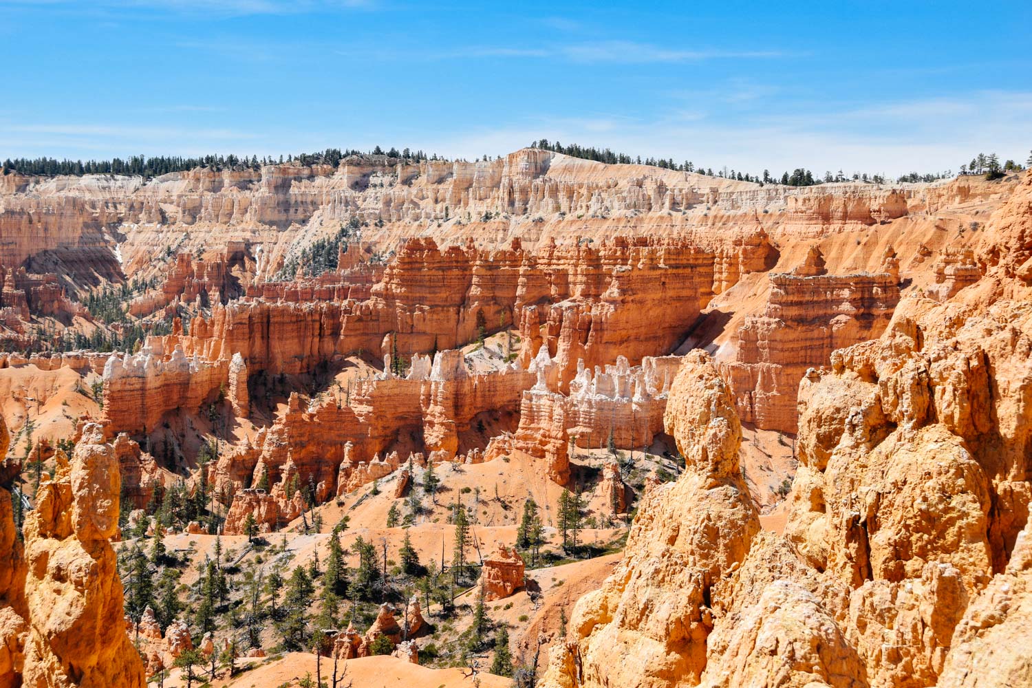
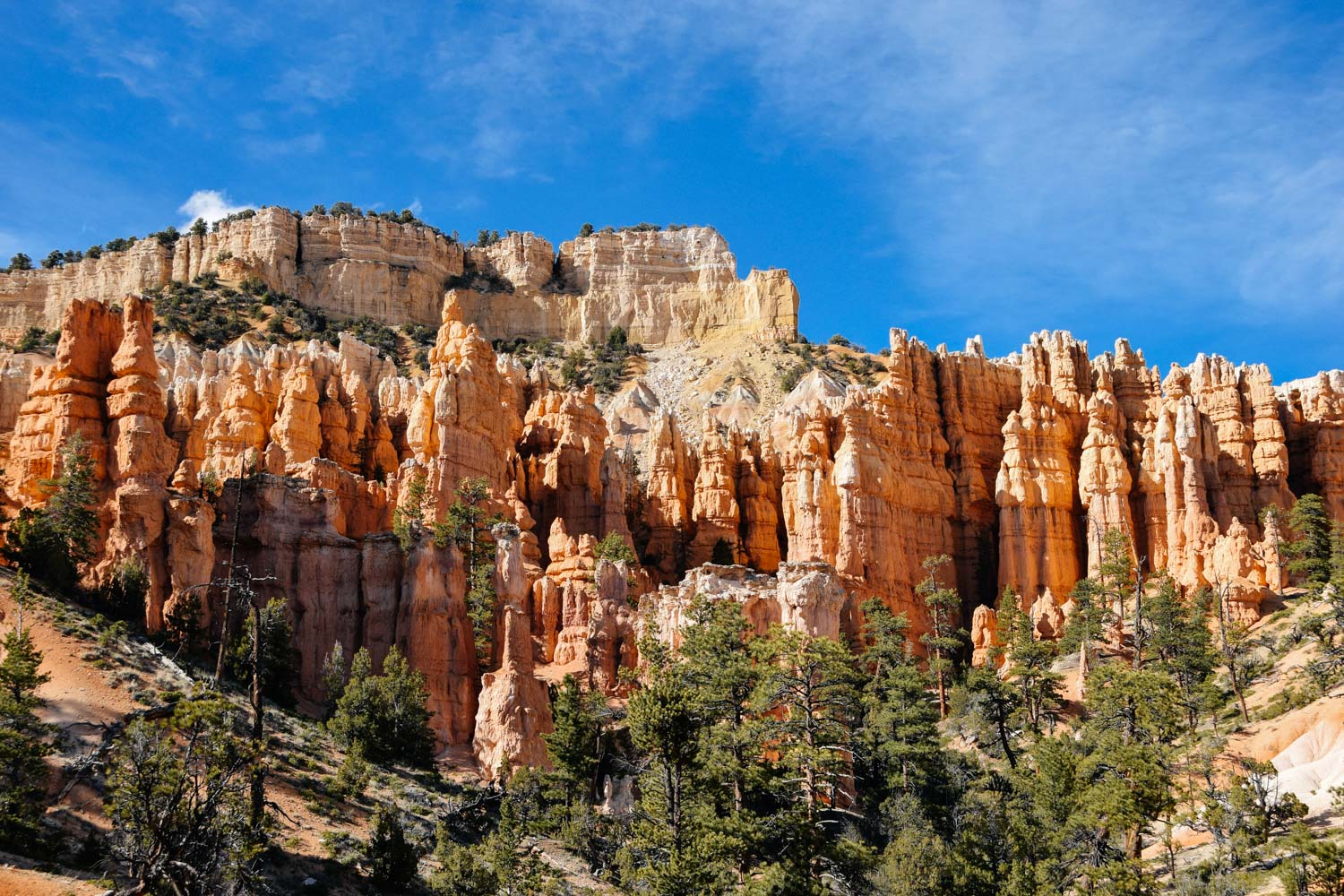
Hoodoos galore!
Fairyland Loop Trail
Fairyland Loop was my favorite hike. The scenery on all the hikes were magnificent, but I thought there was a bit more diversity on Fairyland. It's also not as popular of a hike as the other trails. We only saw a few people, but that could've also been because we were out there around 7 PM. We almost didn't hike the entire loop initially.
One evening we met up with Meant for Adventure, who was in the area the same time as us, at Sunset Point.
Tori of Meant for Adventure and Jerud.
The plan was that we would going to hike out to Tower Bridge that's on Fairyland Loop Trail and 1.5 miles from Sunrise Point. It was a silly plan (I take full responsibility for the stupid plan) because that's such a short hike. When we got to Tower Bridge, we took some photos, looked at each other and someone suggested we'd hike to the next turn in the trail.
Tower Bridge on Fairyland Loop Trail.
We got to that turn and someone else suggested we'd hike to the next bend.
These hoodoos look like geoducks to me.
At the next bend we stopped and decided that we might as well hike the entire trail - since that was what we going to happen anyways if we kept going the way we were. I'm so glad we didn't save this hike for the next time we came to Bryce.
Looking back at Fairyland Loop Trail.
Mountain Biking Thunder Mountain Trail
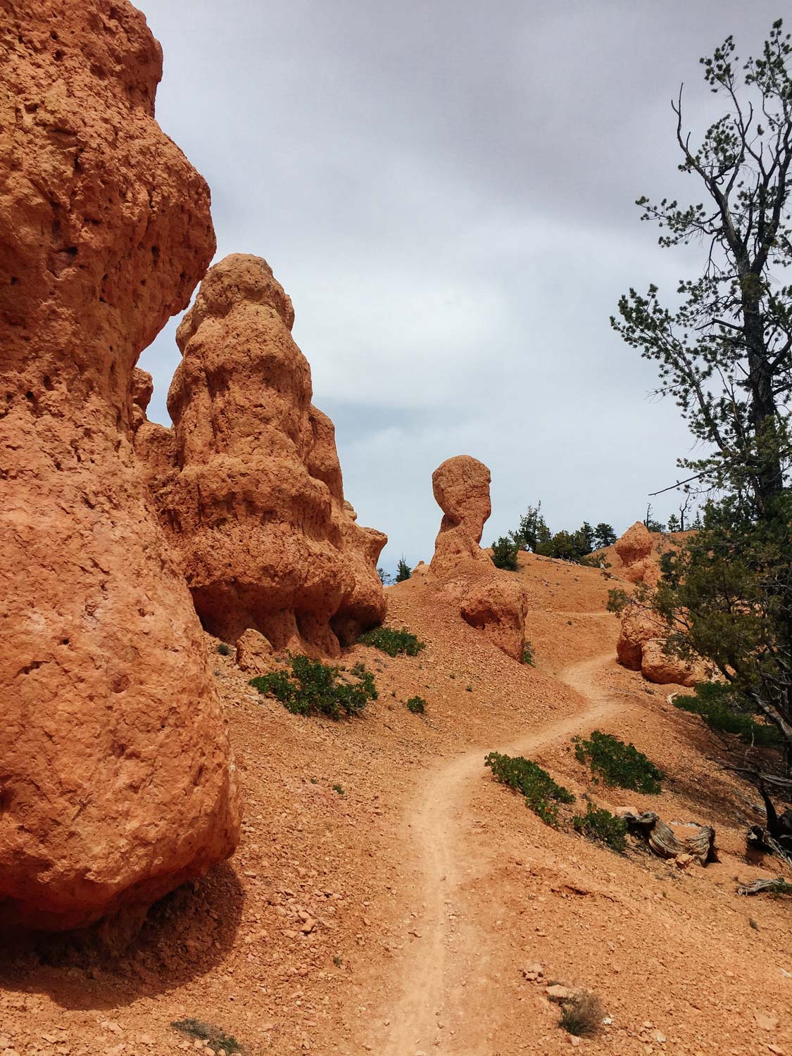
This is a super fun trail! The terrain varies from going through evergreen woods, uphill sections, loose rocks, narrow and twisty sections, a few technical areas, tight switchback turns, and ending with a fast and fun downhill section.
We did the ride as a ~15 mile loop: parked at the Fremont ATV trailhead parking lot off US-12, rode on the dirt road to Coyote Hollow trailhead, rode Thunder Mountain trail, and came back on Red Canyon paved trail that runs along US-12 back to the truck. MTB Project has Thunder Mountain Trail listed, but we actually used the information from Utah Mountain Biking.
Just remember to somehow keep your eyes on the trail while riding.
Taking Red Canyon paved trail back to the truck. This paved trail connects Red Canyon to Bryce Canyon, making it a good length road ride.

