Pedaling Montana Mountain, Carcross, Yukon
The Carcross/Tagish First Nation people have a long history with Montana Mountain. (The indigenous people of Yukon are referred to as First Nations.) According to Yukon Tourism, the First Nation’s presence in Yukon dates back 30,000 – 50,000 years. Montana Mountain has been a spiritual cornerstone to the Carcross/Tagish people in addition to providing them with food, medicine and refuge. The discovery of silver and gold on the mountain in 1904 caused a rush of outsiders to make their claims on Montana Mountain. During those years, an extensive network of mule pack trails, tramways and wagon roads were created to transport the ore off the mountain - some of which can still be seen on the mountain. While the original silver and gold stampede was short lived, smaller scale mining activities continued on the mountain for decades. But in 2006 the Carcross/Tagish First Nation reclaimed Montana Mountain when they signed their Final and Self Government Agreements.
Since 2006, when the Carcross Singletrack to Success Project was created, there have been around 40 Carcross/Tagish youths whose summer jobs have been to build mountain biking trails on Montana Mountain. The goal of the project has been to reconnect the youth to the land and cultural traditions while creating a mountain biking destination.

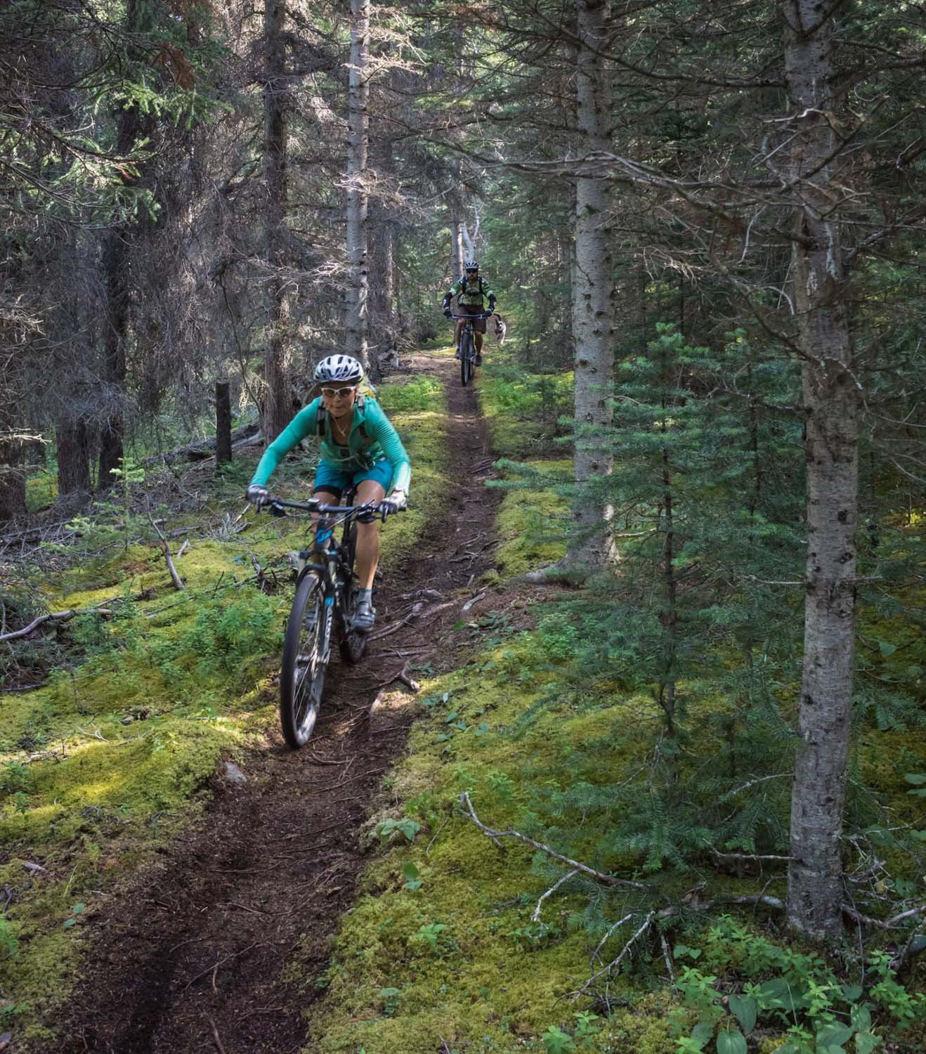
The mountain biking trails are all on one face of the mountain (except Mountain Hero), and the singletrack is almost all marked as down-only. Think of it like a ski hill with just one lift; cyclists climb up the gravel road, then choose their singletrack route down. Most people shuttle the mountain (although the ride up is only 4 miles long). If you’re bent on riding up singletrack (we are), the best option is to take Lower Dei Kwäan to Upper Dei Kwäan, which connects to an unnamed doubletrack leading up to the top of Mary’s Trail – basically the top of the hill. Lower Dei Kwäan and the doubletrack are marked as bi-directional trails, but Upper Dei Kwäan is “down only”, so you risk getting plowed by downhillers as you grind up.

A section of singletrack you get to ride as you head up to the top of the trails.
There are three classic routes on Montana Mountain: Mountain Hero Trail (IMBA Epic), McDonald Creek and Nares View. They are all a longer climb past where the main cluster of trails start. One of the local riders we talked to described Mountain Hero as “a good trip, but not a good ride.” Since we were there to ride fun mountain biking trails we decided to skip Mountain Hero. But we did ride McDonald Creek and Nares View.
McDonald Creek

Arriving at McDonald Creek trailhead.
McDonald Creek had a few really fun sections of trail but other than that Jerud and I didn’t think it was worth the longer climb to get to it. It has very fast straight sections at the top, but no interesting flow. But the highlights are a long boardwalk section through a high marsh, two good viewpoints of Bennett Lake on the way down, and riding next to the shoreline of Bennett Lake (you can hear the lake but can’t see it through the dense trees).

Photo by Jason Liske.
It's not often there are photos of both me and Jerud riding. Thanks Jason Liske!
Tyki had to take careful steps on this boardwalk so his little feet wouldn't fall through the empty spaces.
JF checking out the view of Bennett Lake.
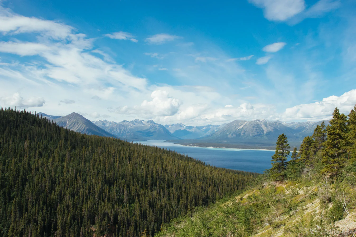
Bennett Lake

Riding past old wooden structures.
Nares View
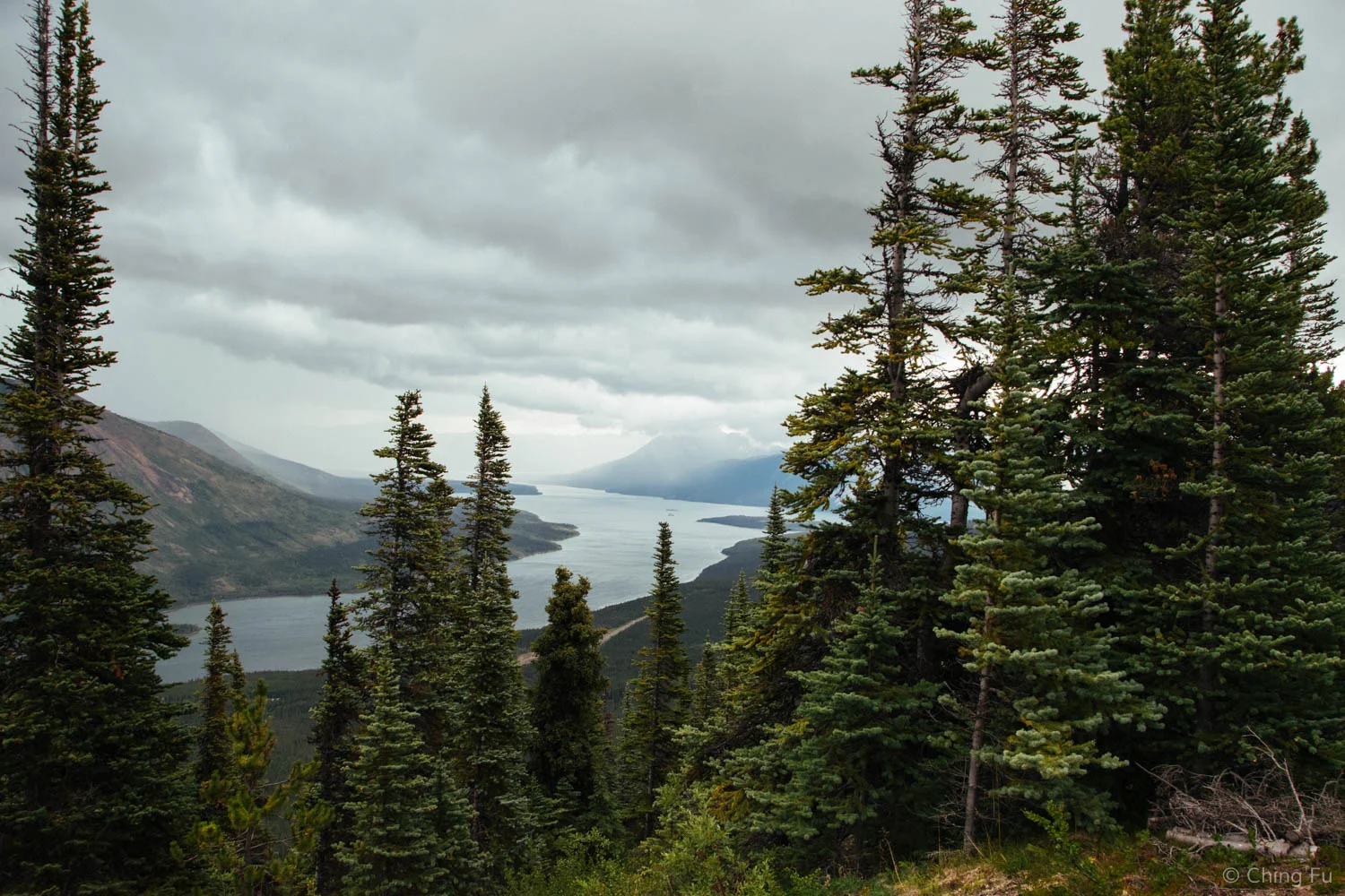
The sky was blue with bulbous clouds when we started our Nares View ride. But as we got to the beginning of Nares View trail the sky behind us, also the direction we would eventually be headed back towards, had turned dark and stormy.

Found this neat little house - we thought it might be a warming hut, but it was locked...

The rocks are chunky and they roll the moment your wheel touches them.
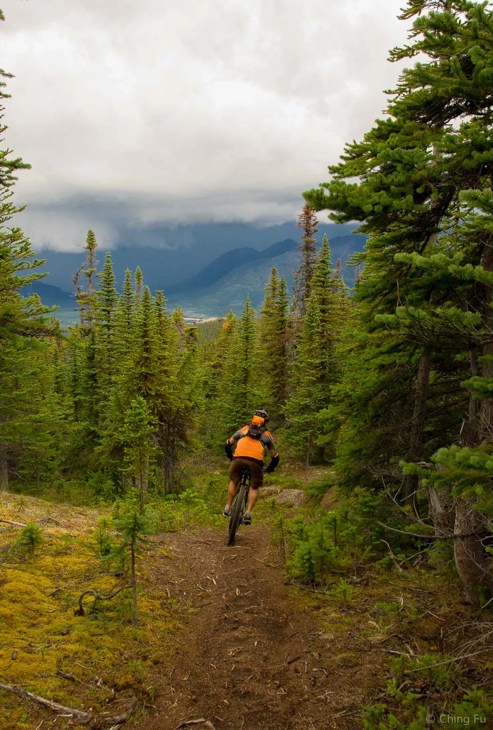
Riding down Nares View trail and into the storm.
Soon we felt the change in the air as the wind picked up. The weather was bad enough that once we climbed to the top, Jerud reminded me that if I felt a tingle or my hairs stood up to get off my bike and find somewhere low to crouch into a ball. As we headed down the singletrack the dark sky had reached us and it started to rain. We picked our way through the switchbacks and chunky rocks. Thunder started to rumble closer by and my arms were tingling. I couldn’t decide if the tingle and hairs standing up was from the cold rain or a sign that we should get off our bikes. At one point, a loud crash of thunder struck right above our heads and my heart jumped into my throat. That was a bit too close for comfort. But cycling in the rain and thunder added a raw and unfiltered element to being in the woods and made the ride that much more invigorating. We ended up having a blast, although we were also very glad when we got back to the truck.

Last photo before my DSLR went into the dry bag.
Nares View trail was a better ride than McDonald, but after all our rides on Montana Mountain we decided that the lower trails were the best. They seem to get the most attention from the trail crews, are well built, fast, and have a various alt jump lines, berms, wooden features and tech sections. But it had rained a lot while we were in Carcross so we didn’t get to ride as much as we wanted and ended up leaving with a bunch of trails unridden.


TIP:
- Don’t get the Montana Mountain trail app. It’s so bad that Jerud actually asked for a refund (that’s more of a me move). Even with the most recent update, the app still doesn’t include all the trails that are on the map at the trailhead. Instead, just take a picture of the map at the trailhead and use that. The trails are all well marked.
We were in Carcross from July 4 – July 16, 2016.