Traveling Down Oregon’s Coast
We left Washington and headed straight into Portland. Here is where our travel “plans” ended (by plans I mean very vague plans that sounded like this, “Yes, we’re going to keep heading south.”). While I had a lot of places I wanted to go in Oregon it would have meant crisscrossing the state a dozen times. Here’s where my need to do and see it all (aka Fear of Missing Out, aka FOMO) conflicts with logistics and being green. Luckily the rain and need to avoid freezing weather guided us in a certain direction and we just went with it.
PORTLAND
Portland was our first stop in Oregon and though we tend to avoid cities, we had to stop here because of the battery issues we were experiencing at the time.
From Columbia River RV Park, where we were staying, we rode our bikes, pulling Tybee and Tyki in the trailer, into downtown. Ran errands, lunch and drinks at Rogue, and some strolling and window-shopping.
We didn’t get the chance to explore most of Portland, but we did get to experience what was priceless to us: bicycle rush hour! Portland is famous for its bicycle infrastructure. It’s one thing to use the infrastructure, but it’s another to experience it with countless other cyclists. It didn’t dawn on us what time it was until we got back on our bikes and saw an unusually large group of cyclists (not clad in Lycra) ride up to a stoplight across from us.
I know, this doesn't look like a lot of cyclists, but the red light separated us from the rest of the riders.
Part of the significance of riding during bicycle rush hour was the number of other cyclists on the road at the same time, but it was so different than bike commuting through town with a group of friends or going on a group ride. The other great thing was to see how well the cycling infrastructure worked. Here are the things that made an impression on us:
1) There were so many people who were commuting to/from work at the same time! Back in Asheville Jerud and I would separately see only a handful of other bike commuters when we commuted to and from work.
2) It was really incredible to see what good, effective and usable bike lanes looked like. The green painted on streets to make drivers aware of the existence of dedicated bike lane were actually noticeable and effective. A few streets in Asheville utilized the green paint, but it was in a test phase and only a few of them, so the paint didn’t make sense to cyclists or drivers. In Portland, there were miles of consistent bike lanes that didn’t suddenly disappear to be taken over by a car turn lane.
3) The layout of bike and car lanes tended to give preference to bicycles, especially at turns and intersections. As a cyclist, being permitted to roll through block after block of intersections without putting a foot down is very nice! This ‘special treatment’ probably helped lead to #4:
4) Bike commuters actually obeyed traffic laws like they are supposed to.
5) Drivers actually respected and acknowledged cyclists on the road. And they followed traffic laws like they were supposed to for cyclists.
We got to experience proof that cars and bikes could successfully co-exist on roads.
EVERGREEN AVIATION & SPACE MUSEUM
Our original reason for going to Evergreen Aviation & Space Museum was just to spend a night in the parking lot on our way out to the Oregon coast. I learned about this museum through Marshall of Finding Marshall’s review on Campendium. Initially, we didn’t even want to spend the money to go into the museum because we were being cheap and we figured looking through its huge windows and the planes and rocket on display outside were satisfying enough.
A Sikorsky CH-37B cargo helicopter that lives outside the museum.
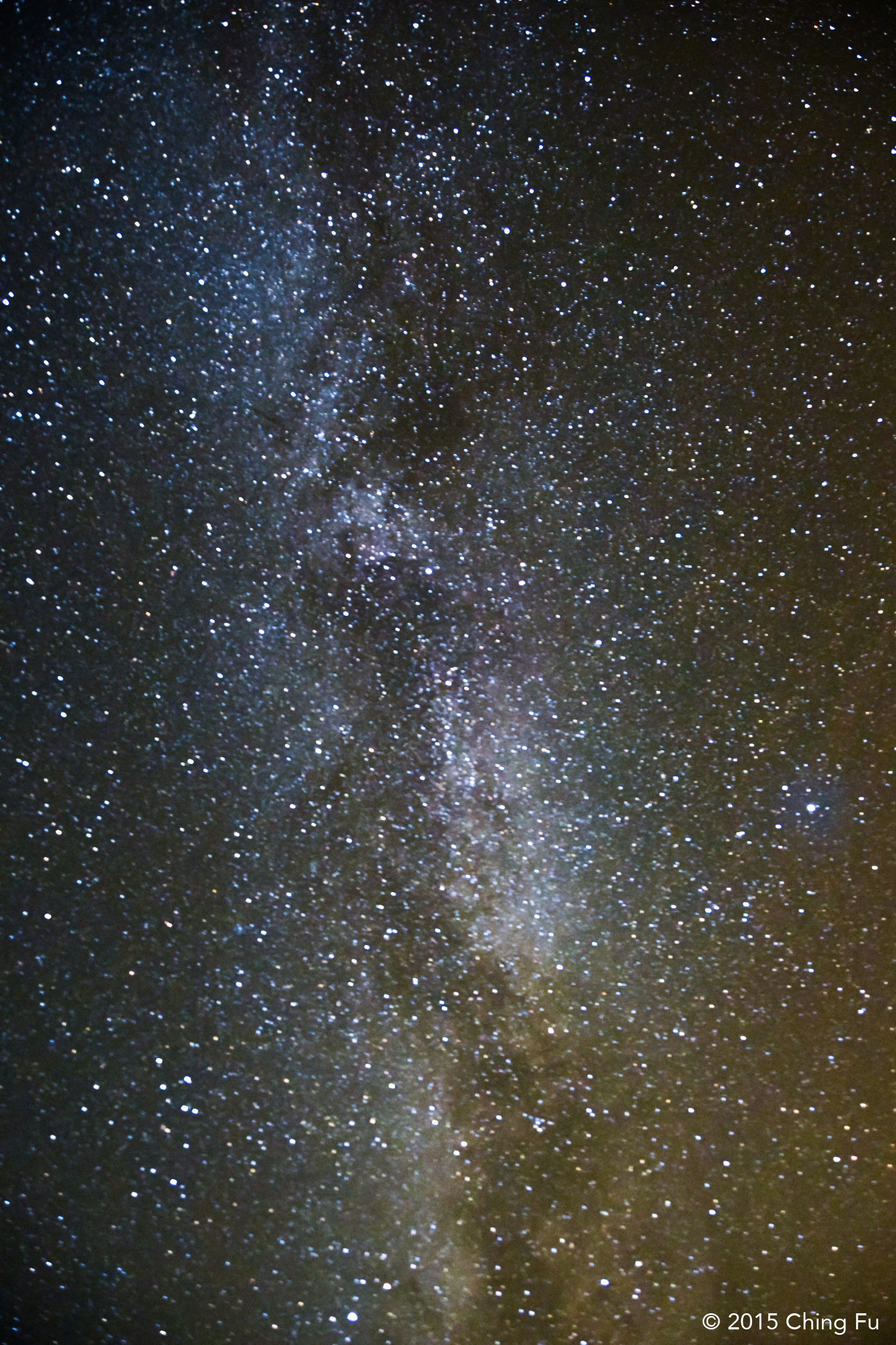
Cool night sky.
But the window shopping only made us more curious and we ended up paying admission to go in. I’m not a history or aviation enthusiast at all and Jerud is only a bit more than me. But this place blew both our minds and we thoroughly enjoyed it! If you are in the area then we highly recommend visiting this museum.
We went to the aviation part of the museum first and ended up spending the majority of our time there. By the time we got to the space museum we only had an hour before closing and we were worn out. While the space museum has a lot of interesting artifacts, it’s not as exciting and well displayed as the aviation museum. The entrance ticket also includes a 3D movie screening, but we didn’t have time for one.
I believe Evergreen Aviation & Space Museum is famous mainly for being home to the Spruce Goose (don’t feel bad if you don’t know what that is because I didn’t). The Spruce Goose was the world’s largest plane back in its time (late 1940s) and was built as an alternative to cargo ships that were being sunk by the thousands during WWII. The plane was built entirely of wood because of wartime aluminum and steel shortages. The most heartbreaking thing about the Spruce Goose is that was only flown once, rising 70 feet off the ground during a test run, and never flown again. Howard Hughes, the man behind the design and project, stored the plane and spent an estimated $1 million a year to keep it in flying conditions until his death, almost 30 years later.
We got to the museum late at night. This was our first glimpse of the Spruce Goose, from outside the museum.
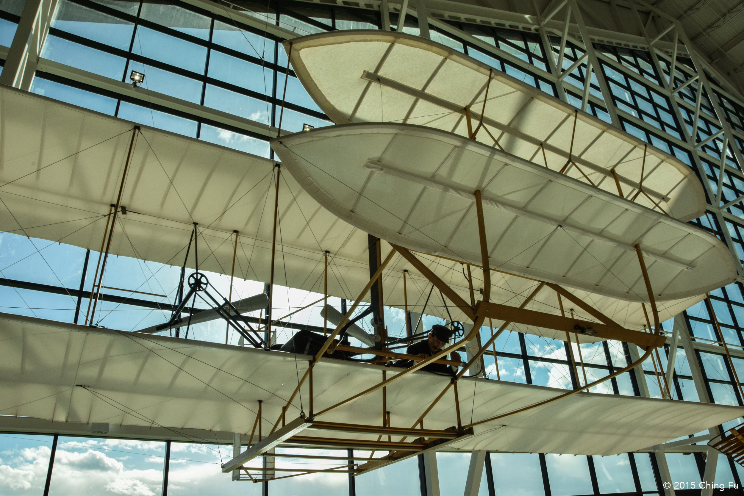
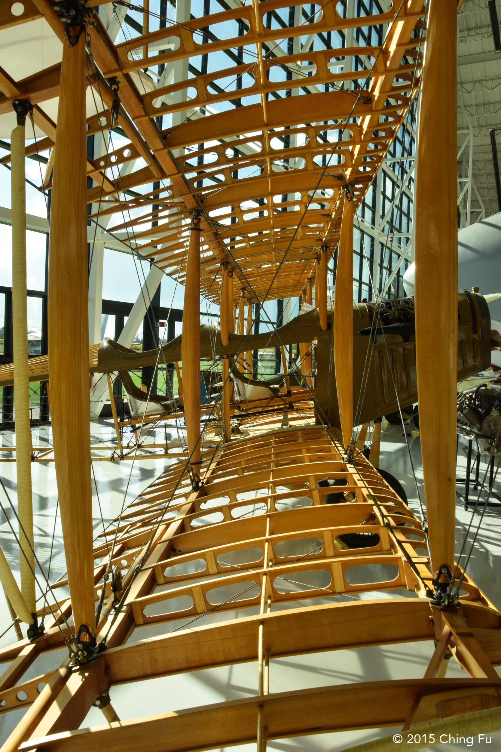
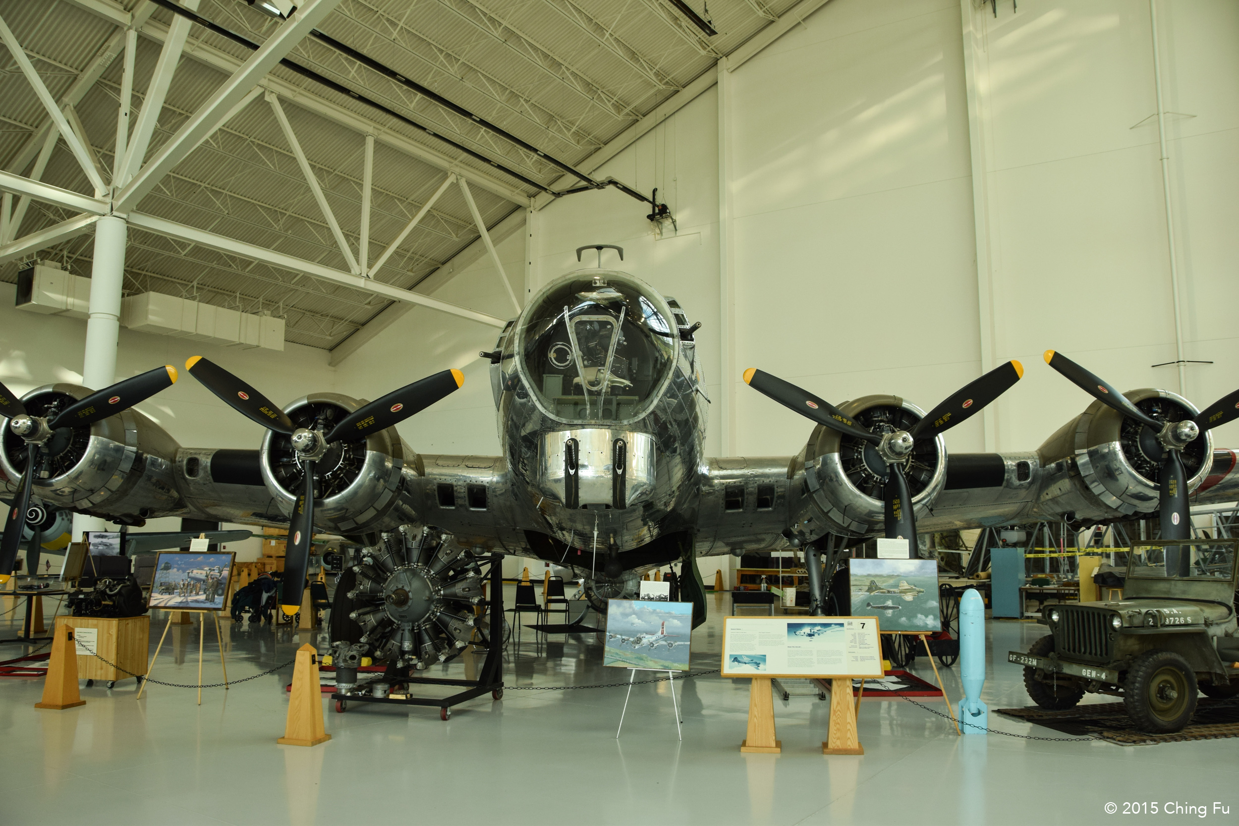
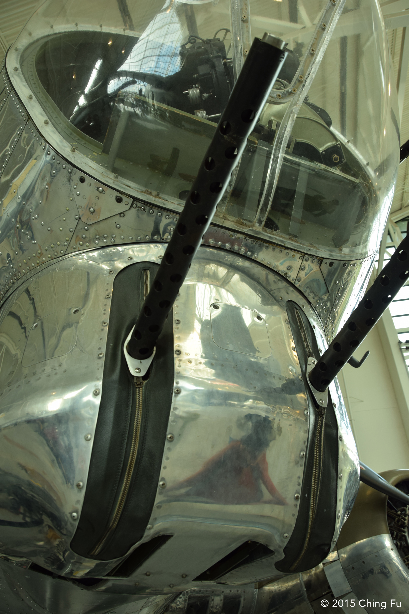
But there is so much more to the Evergreen Aviation Museum than the Spruce Goose. There are original and replicas of planes of all sorts. Jerud and I got to tour the inside of a B-17 bomber plane that was used during WWII. The B-17 is similar to the B-24 that Louie Zamperini was a bombardier in and the plane that was featured in the movie Unbroken. The museum does a wonderful job celebrating the human fascination with flying over the centuries.
DEVIL’S PUNCH BOWL NATURAL AREA
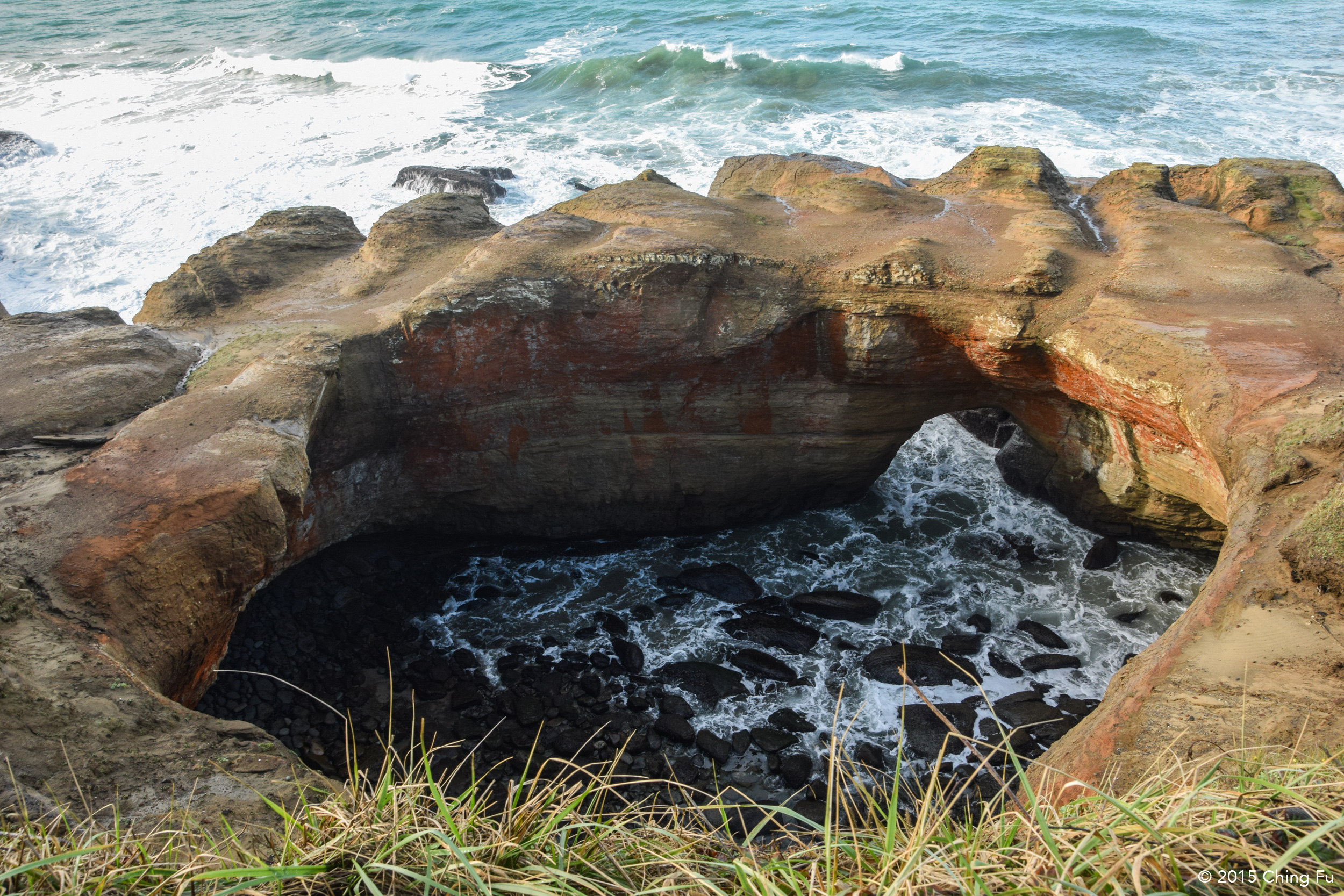
From Evergreen Aviation & Space Museum we headed to the coast and drove down Hwy 101. Our first stop was at Devil’s Punch Bowl Natural Area. The Devil’s Punch Bowl was a cool natural feature to see but not as dramatic as it would have been during high tide.
YAQUINA HEAD NATURAL AREA
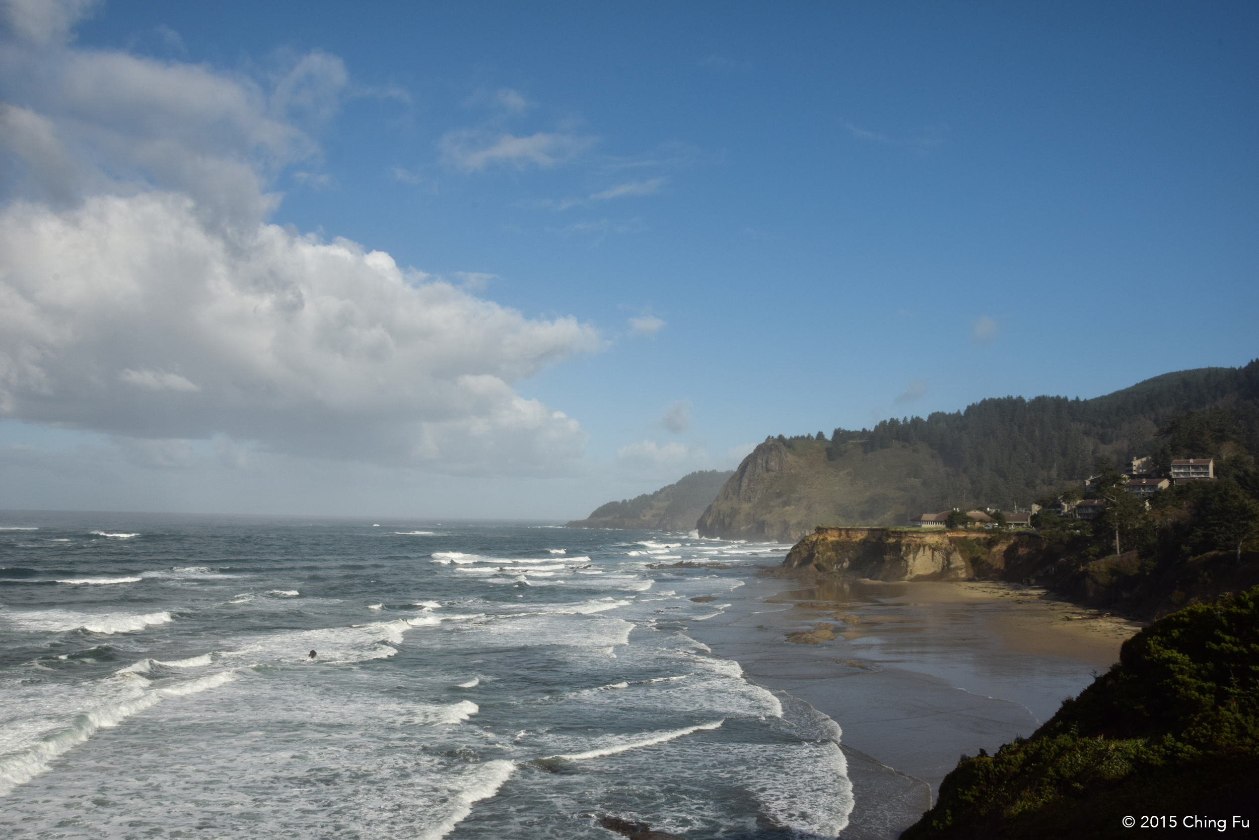
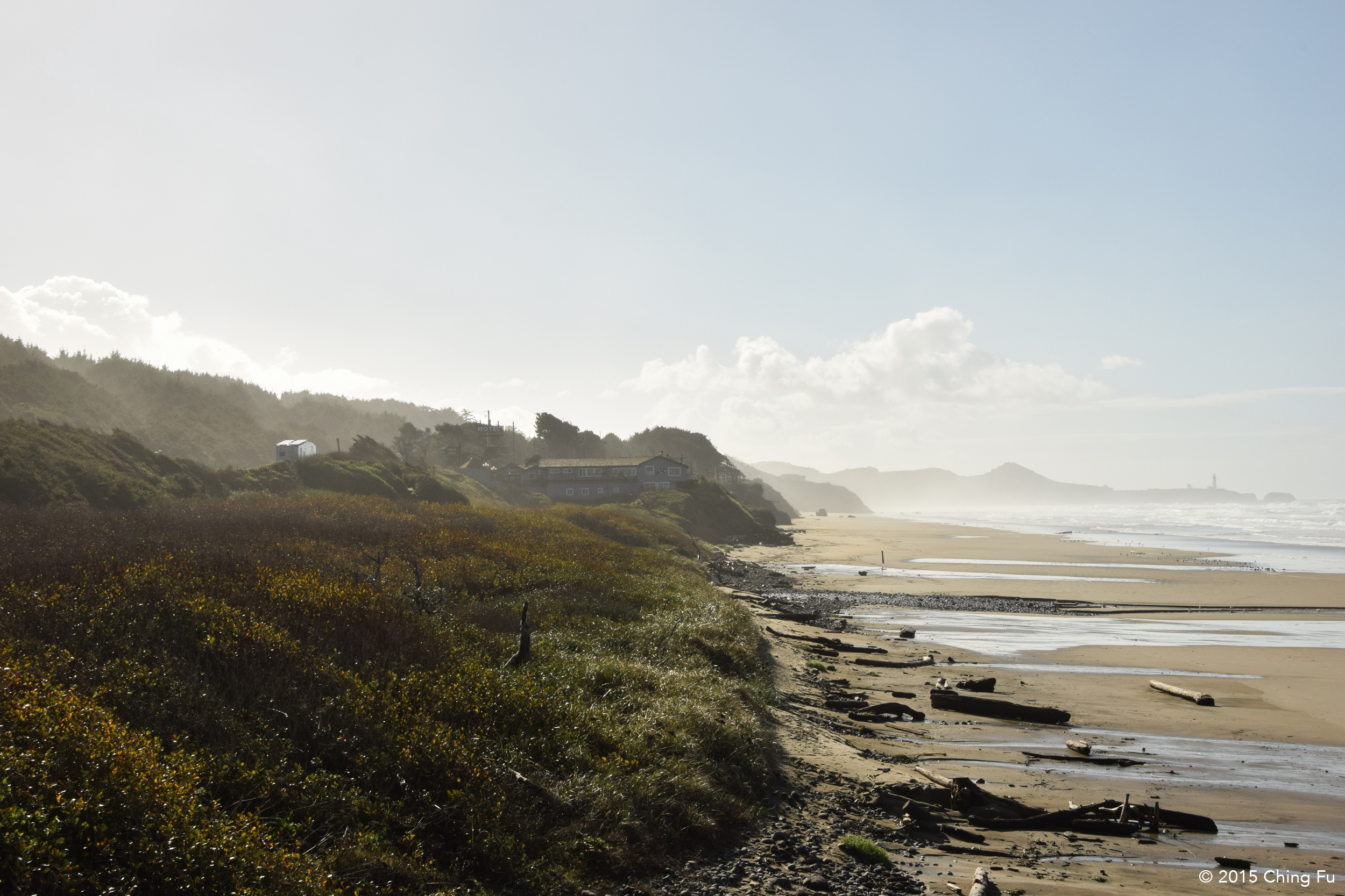
We saw the Yaquina Head lighthouse on our drive south so we decided to stop and check it out. Pretty lighthouse, but sadly you can’t go inside it.
NEWPORT
We decided to spend the night in Newport, and unfortunately needed to be plugged in at an RV park again to finish working on our batteries. It turned out that the RV park we chose, Port of Newport Marina & RV Park, was right next to Rogue Brewery! (Although it made us wish we had checked out a different brewery while we were in Portland!) This meant that every time we walked out of the Toaster we’d smell a delicious mixture of hops and barley in the air. It was wonderful. I would just stand there and inhale as deeply as I could. It smelled even better inside the brewery! Someone should make a beer-mash-scented candle.
After we parked and setup the RV we noticed that there were actually RV sites at South Beach State Park, which was nearby. We were bummed to see that it had hookups and was cheaper than where we were staying – we prefer to stay at campgrounds like those to RV parks.
South Beach State Park campground turned out to be really nice looking, a lot nicer than where we were staying. We told ourselves that the upside to staying at the RV park was that we could walk across the street to Rogue Brewery and had free WiFi access. It was raining when we got to the actual beach, which was really close to the campground, and Jerud suggested that we put on our rain boots (we got them recently because it had been raining since we left my aunt’s). We walked onto the beach and Jerud headed straight for the water, standing ankle deep in it, watching the waves crash against his boots with a huge smile on this face because his feet were dry. He was so excited about the boots, walking up and down the beach in the water, that it was really funny when he wasn’t paying attention and a wave taller than his rain boots crashed into his legs, filling the boots with salt water. I know it makes me a terrible person to stand there and laugh at him. But I did.
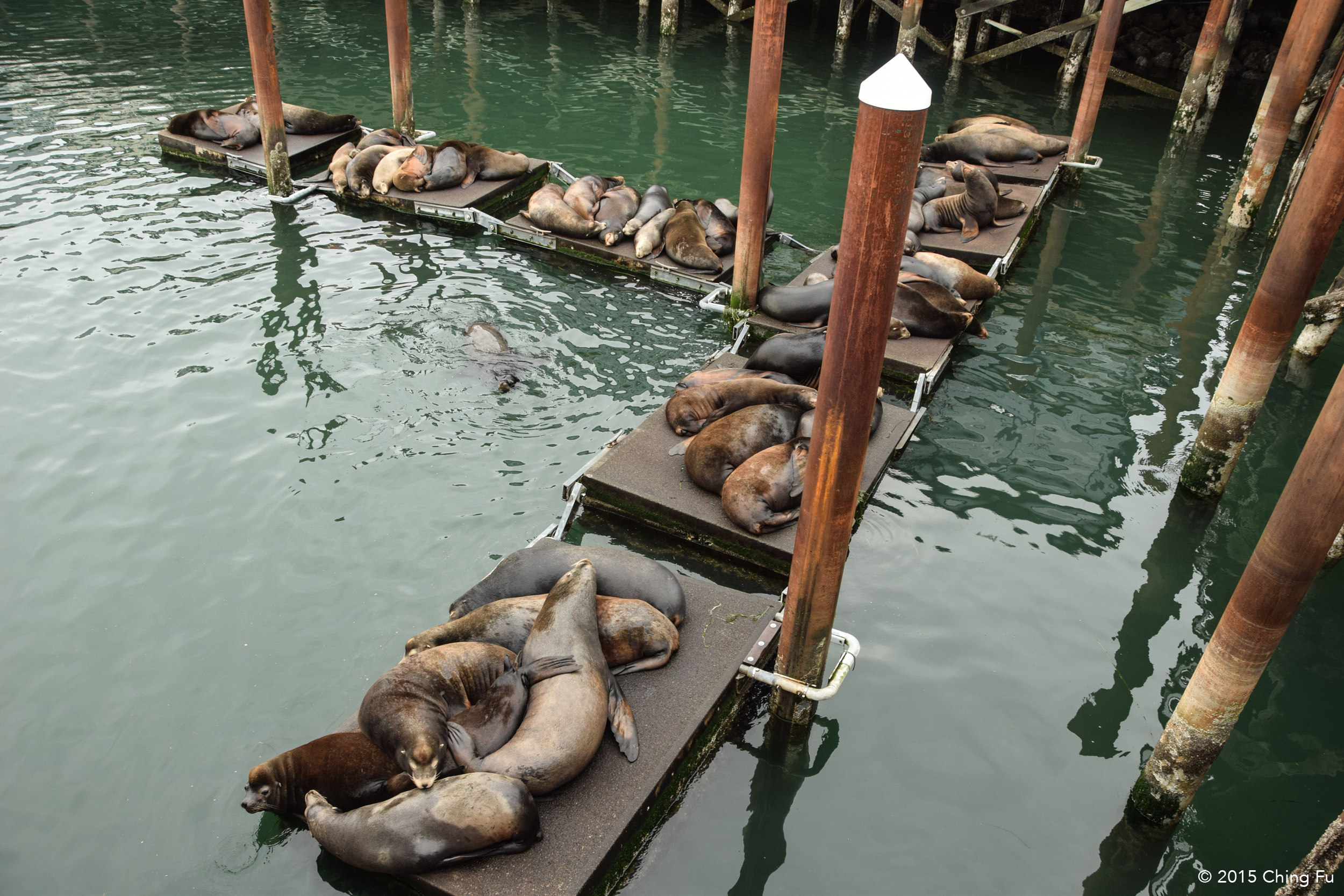
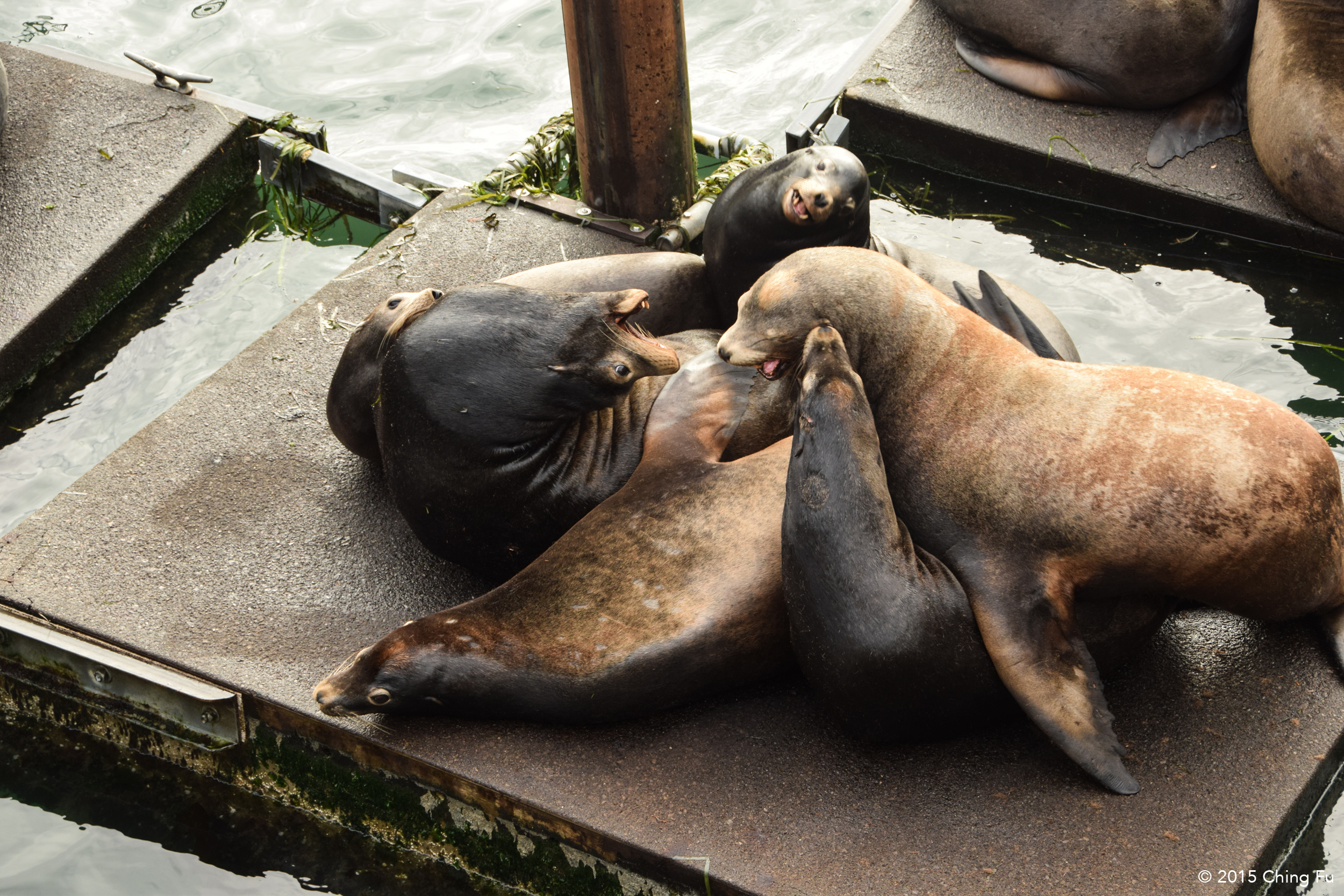
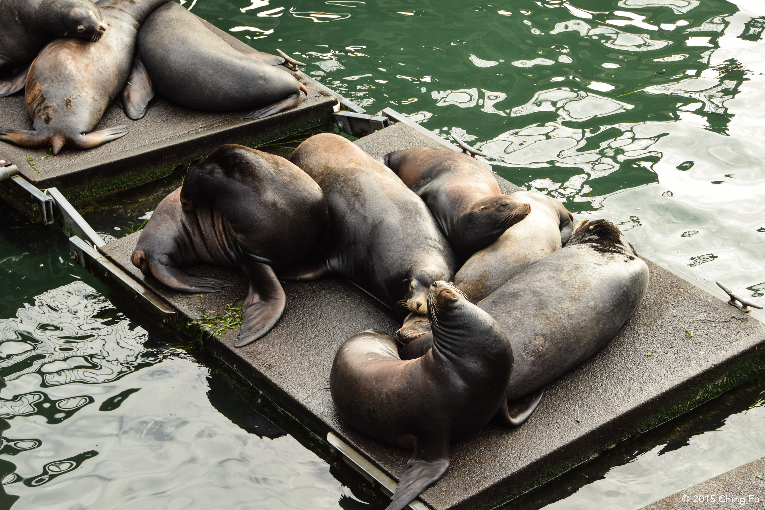
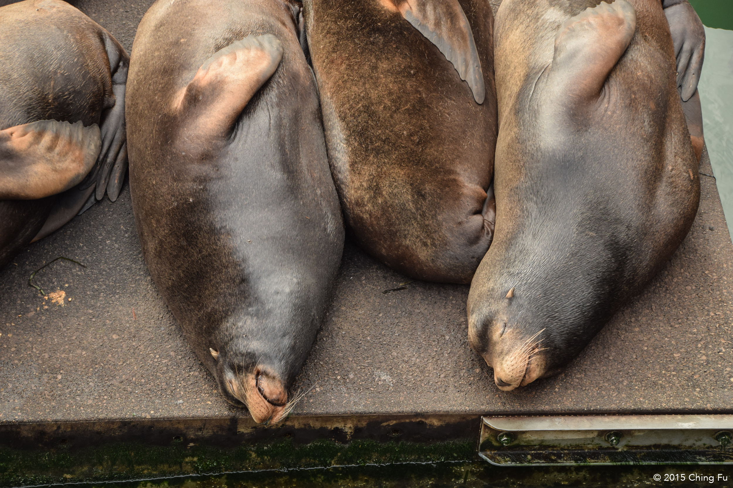
We had planned on going to the Oregon Coast Aquarium since I hadn’t been to one since I was a kid. But fixing the batteries took longer than expected so we ended up not having enough time for the aquarium. Instead, I had randomly come across information about some sea lions that like to hang out in historic downtown Newport. We drove over to 325 SW Bay Blvd. and below Port Dock One were around 50 sea lions. They were resting on the floating docks, but laying so close to one another they were almost on top of each other, the way puppies huddle together. A handful of them were barking, throwing their heads backwards, as if asking for a belly rub. And sometimes one sea lion would piss another one off by jumping back onto the floating docks from the water only to land on a sleeping sea lion.
CAPE PERPETUA SCENIC AREA
Right off Hwy 101 there is a 0.5 mile loop trail that leads out to the edge of the volcanic rocks overlooking a chasm that is known as Devil’s Churn. We got there during high tide and waves were crashing high and hard, against the rocks and sometimes against each other. Watching the waves I was reminded of the force the ocean has and how if I took one wrong step and fell in, I would have been smashed against the jagged rocks. I wasn’t aware of this at the time, but there was a sign at the parking lot above that warned visitors of sneaker waves – which is an unexpected wave that is a lot bigger than other waves that may smash and pull viewers into the ocean.
Two weeks later we were visiting Colin, a high school of mine, and his wife Heather in Marina, CA when during a dinner conversation “sneaker waves” came up. Having never heard of that phrase I asked, “What’s that?” Colin and Heather were about to explain it when Jerud, knowing I was probably thinking of something ridiculous, interjected and said, “Well, what do you think it is?” Then he turned to them and said, “This is going to be good.” I hesitated. And then I stammered, “It was in the news awhile ago about how there were sneakers with feet still in them that were washing up on the beach…” I don’t even know if I was remembering this correctly or if I made it up. Everyone laughed. But I pictured a wave full of sneakers with feet crashing onto an unassuming person. Either way, it would be a crappy way to go.
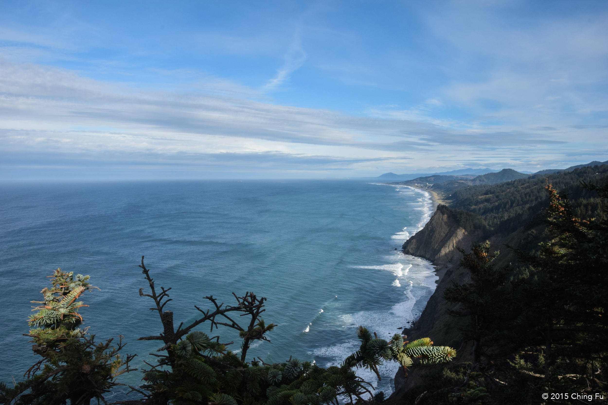
View of the coastline from Whispering Spruce Trail.
We drove up to Cape Perpetua Visitor Center after Devil’s Churn to find it closed for the day and there were more hiking trails. I saw someone walk out of an RV parked next to the camp host RV and asked about Thor’s Well, a natural feature near Devil’s Churn that I had read about online. Turned out he was an off-duty ranger and wasn’t very impressed by Thor’s Well because he said it was just a hole in the ground that gets filled with water and sometimes shoots the water back out. He compared it to watching a toilet get flushed. Point taken. We told him we were also thinking about hiking St. Perpetua Trail to see the view since the bulletin board described it having the “best view on Oregon coast. He discouraged us starting that hike, said it was a steep hike and being that it was already 4 PM, we wouldn’t make it back before dark. But suggested that we drive up there. Jerud and I contemplated this for a bit; we really wanted to hike but he had a point.
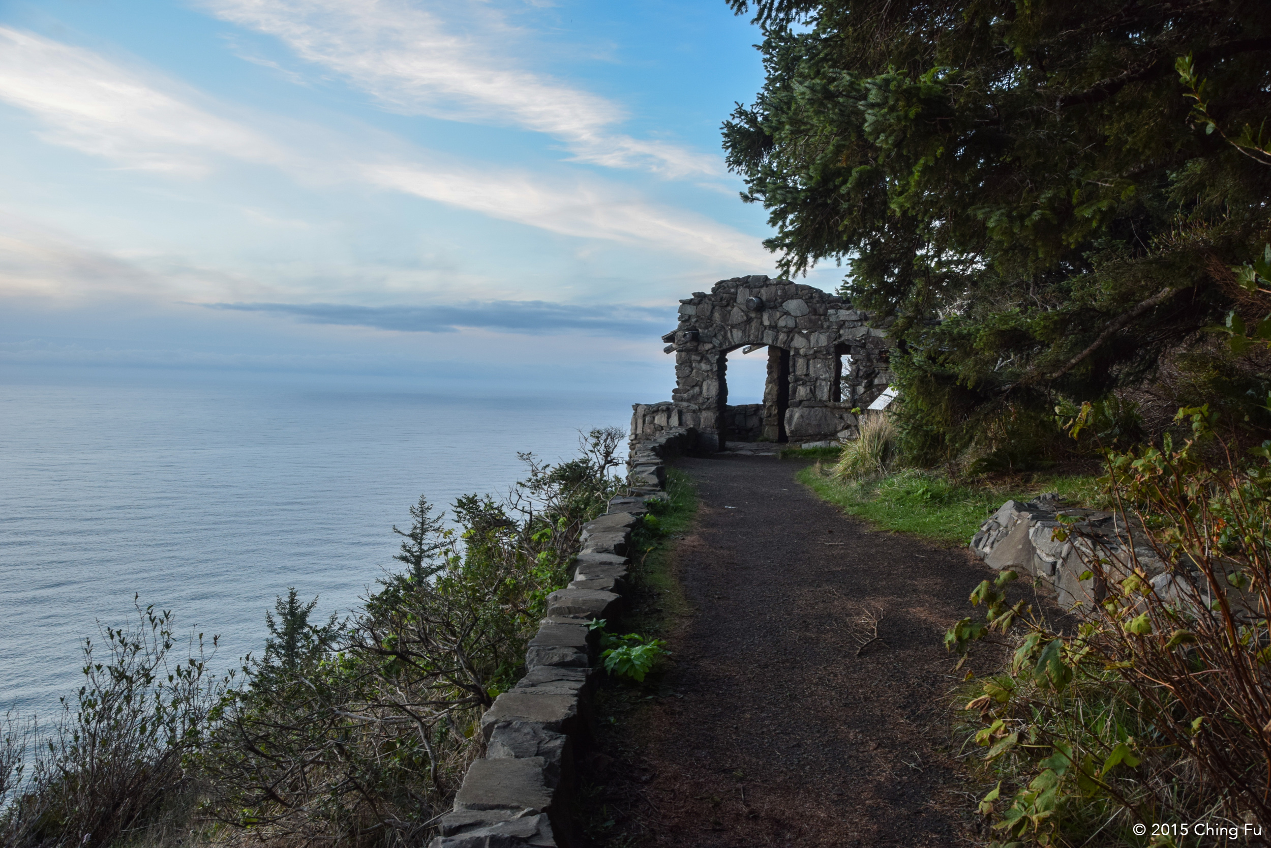
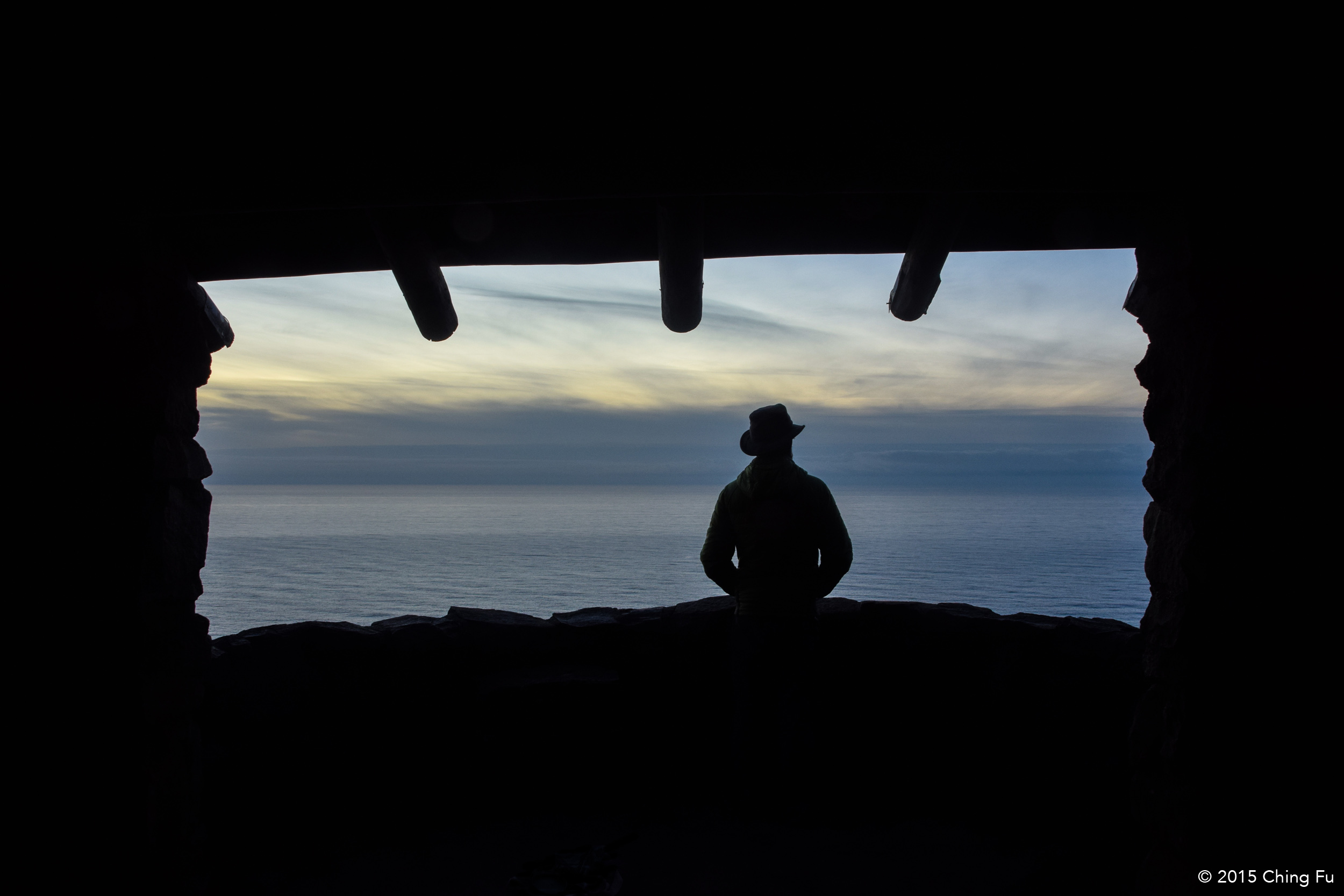
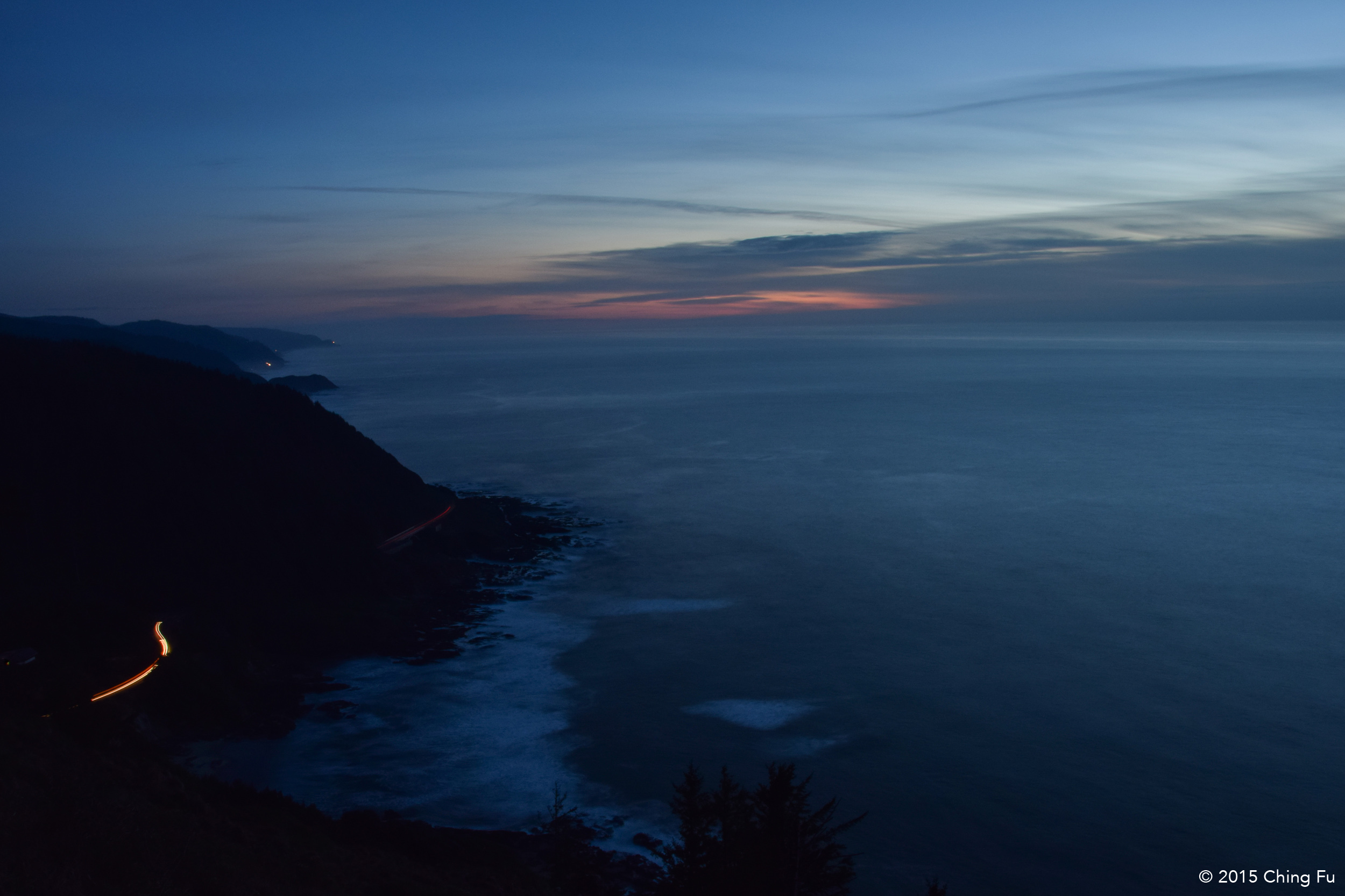
Whispering Spruce Trail is a super short 0.2 mile hike out to a stone parapet that was built by Civilian Conservation Corps back in the 1930s. From here we watched the sunset and I would agree, the view of the Oregon coast was amazing.

FLORENCE
The next day we stopped in downtown Florence because we needed WiFi to work on some stuff. It was a cute little downtown but two specific things caught my eye: The view from the marina was really unique - the scenery across the Siuslaw River was strange shades of blues and grays that were caused by smoke in the air from a fire somewhere in the forest; and the other thing was a saltwater taffy shop. When I was little, Sal, my next door neighbor in NYC, would bring me saltwater taffy. I remember how much I enjoyed eating them. I bought a handful of them and sadly, they weren’t as good as I remembered. Just like Twinkies.
OREGON SAND DUNES
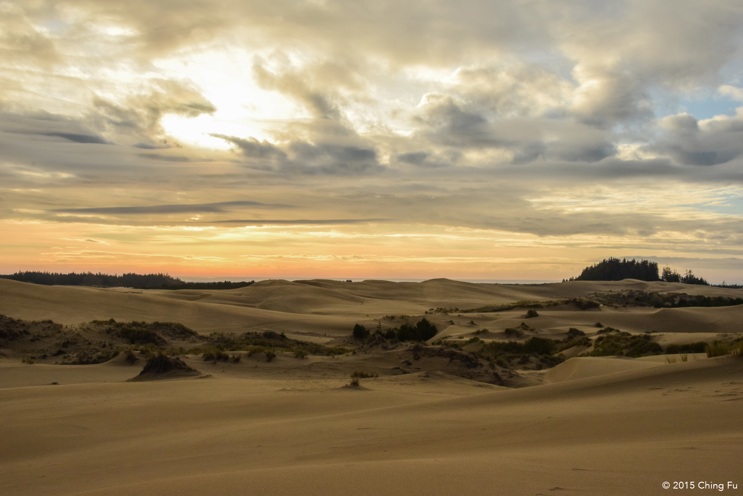
I had no idea Oregon had sand dunes until I saw a picture that Brittany and Nick of Wherever Bound, who we had met up with for drinks back in WA, posted on Instagram. The photo was beautiful and I was set on seeing these sand dunes for myself.
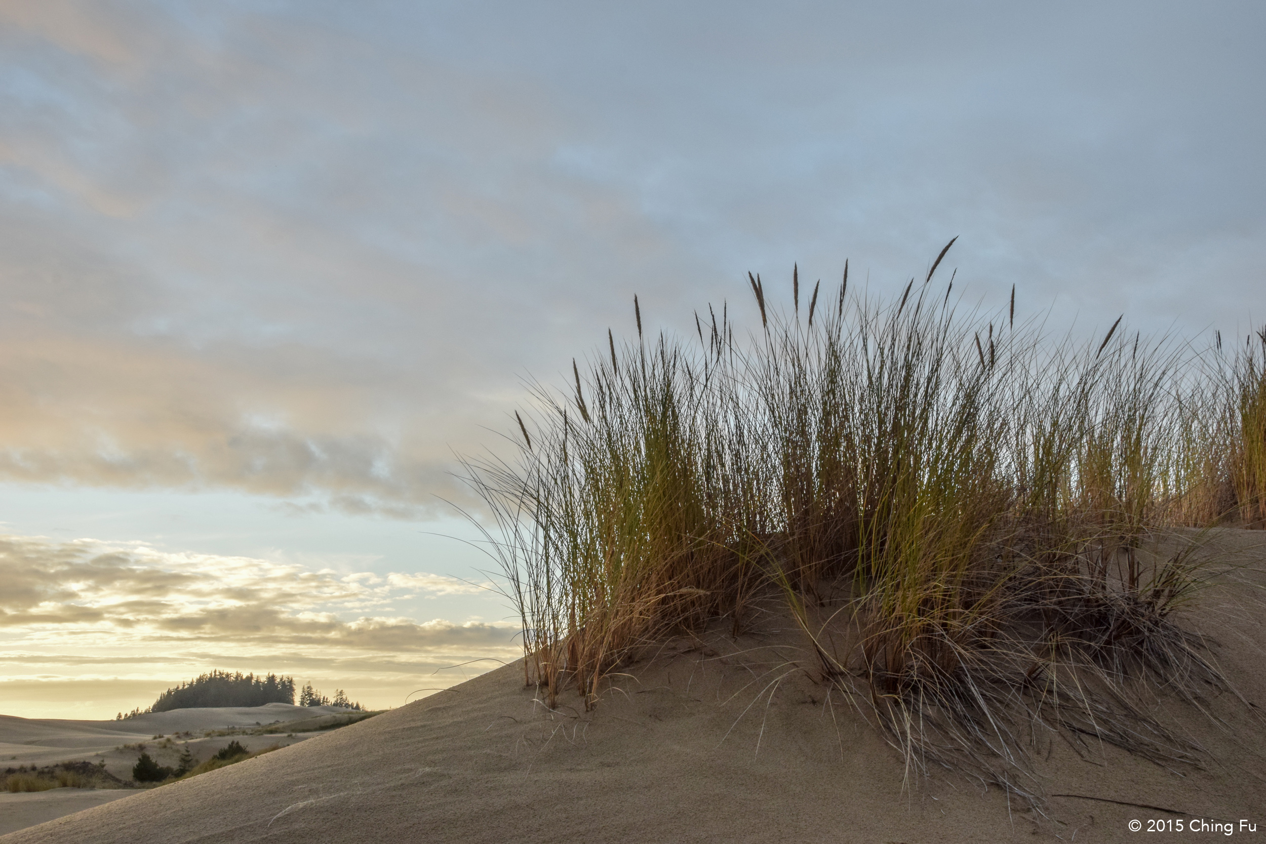
Field of grass at the dunes.
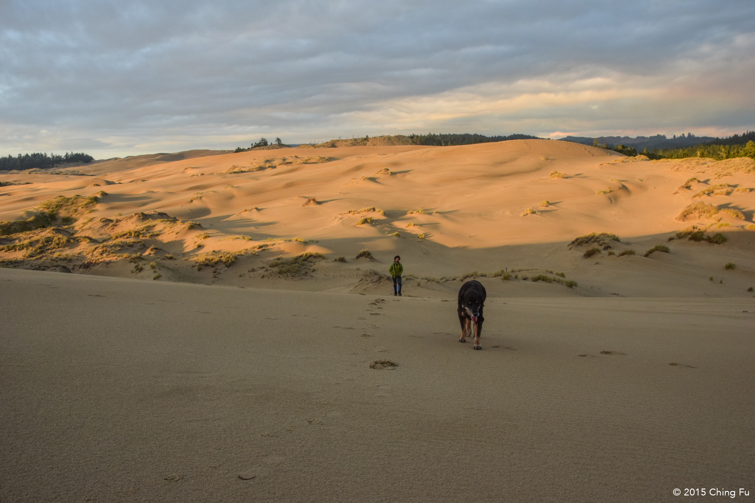
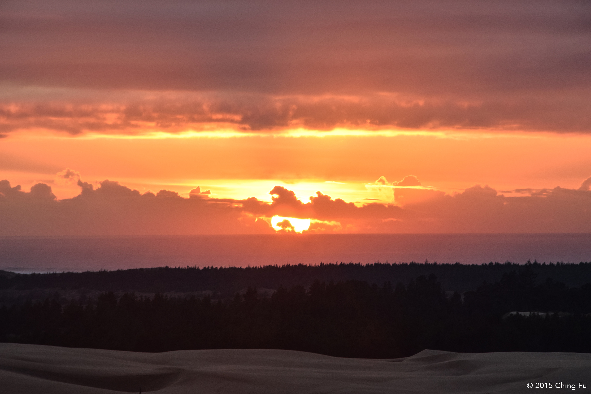
At the Oregon Dunes Visitor Information & Interpretive Center (don’t let the long name fool you, it’s a tiny center) we found out that the biggest dunes can be reached from the John Dellenback Trail. (There is a dump station at the visitor center, but I don’t remember how much it costs to use.) The sand dunes start from Florence, which you can see as you leave downtown Florence, and ends right before North Bend, so about 45 miles of sand dunes. There are three sections of the dunes that allow OHV – Honey State Park, Winchester Bay, and Riley Ranch County Park/Horsfall Lake. We got a detailed map at the visitor center and were told it’s not a good idea to hike where OHVs are, which makes sense when they are flying around the dunes and may come over a hill and not see a hiker or dogs in time.
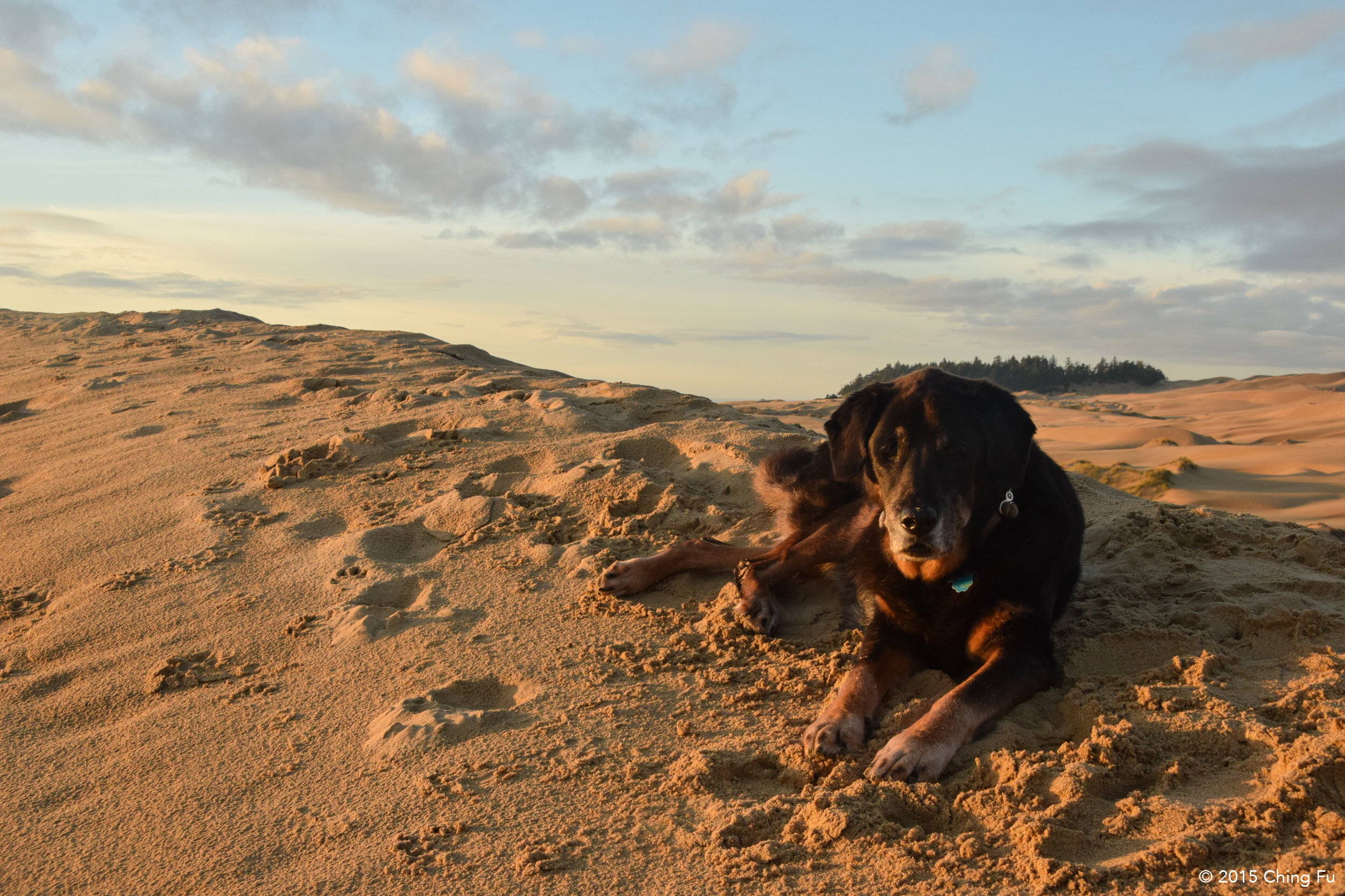
John Dellenback Trailhead is right off Hwy 101 just south of Eel Creek Campground, but we decided to park inside the campground (we parked in a campsite, the place was totally empty) so we could get to the dunes quicker because of Tybee. We weren’t planning on hiking John Dellenback, which was 3 miles one way that leads out to the ocean. We just wanted to hang out on the dunes with the dogs and watch the sun set.
ARIZONA BEACH
The Oregon sand dunes were the last things I wanted to see on the Oregon coast, which meant our next day was just driving without a destination. Sometimes those are the best days because of what you stumble upon.
Our first score of the day was that Jerud spotted a whale off the coast while driving. So we quickly pulled over and watched the whale blow water out of its blowhole one more time before disappearing on us. Not a great sighting, but more than I’ve ever seen of a whale.
Our second score of the day was when we randomly decided to stop at Arizona Beach, right off Hwy 101. We realized what a find that was when we got to the day use area, a large field right in front of the ocean. It was sunny and warm out, the view was incredible, and there was only one car parked there aside from us. We decided this was where we were going to chill for the day. So we parked, put the RV slide out, opened the windows in the RV, and ate lunch outside at the picnic table while the dogs roamed and played in a fresh water pond that was trapped inland by the sand. We fell in love with this beach and the fact that we could finally take a moment to relax instead of being on the go non-stop trying to see things before nightfall.
Around 3:30 PM a couple pulled up and we started chatting with them. They told us how they had just come from 5 miles south of us to see the dead blue whale. Jerud and I both said, “Blue whale?!!” Apparently this was in the paper and people were encouraged to go check it out. YES PLEASE!
Apparently I am very excited to see a dead blue whale.
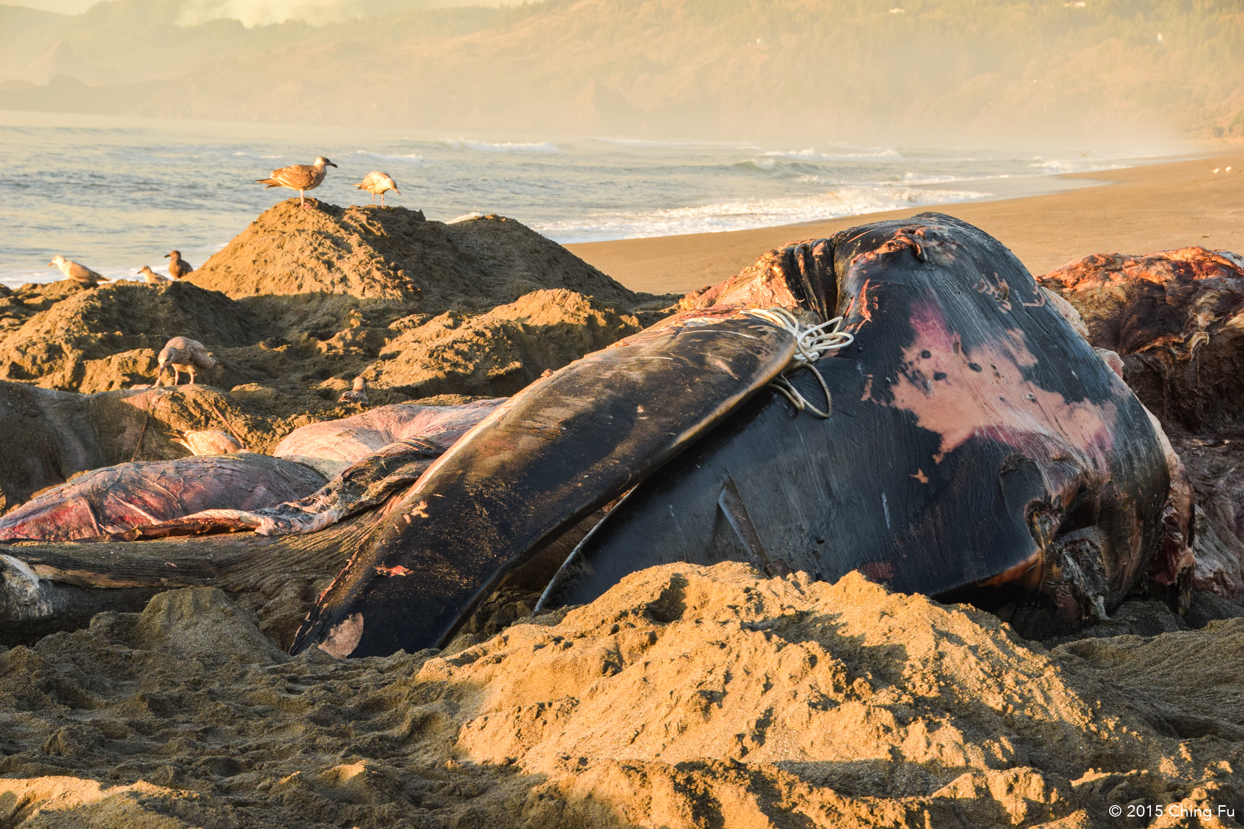
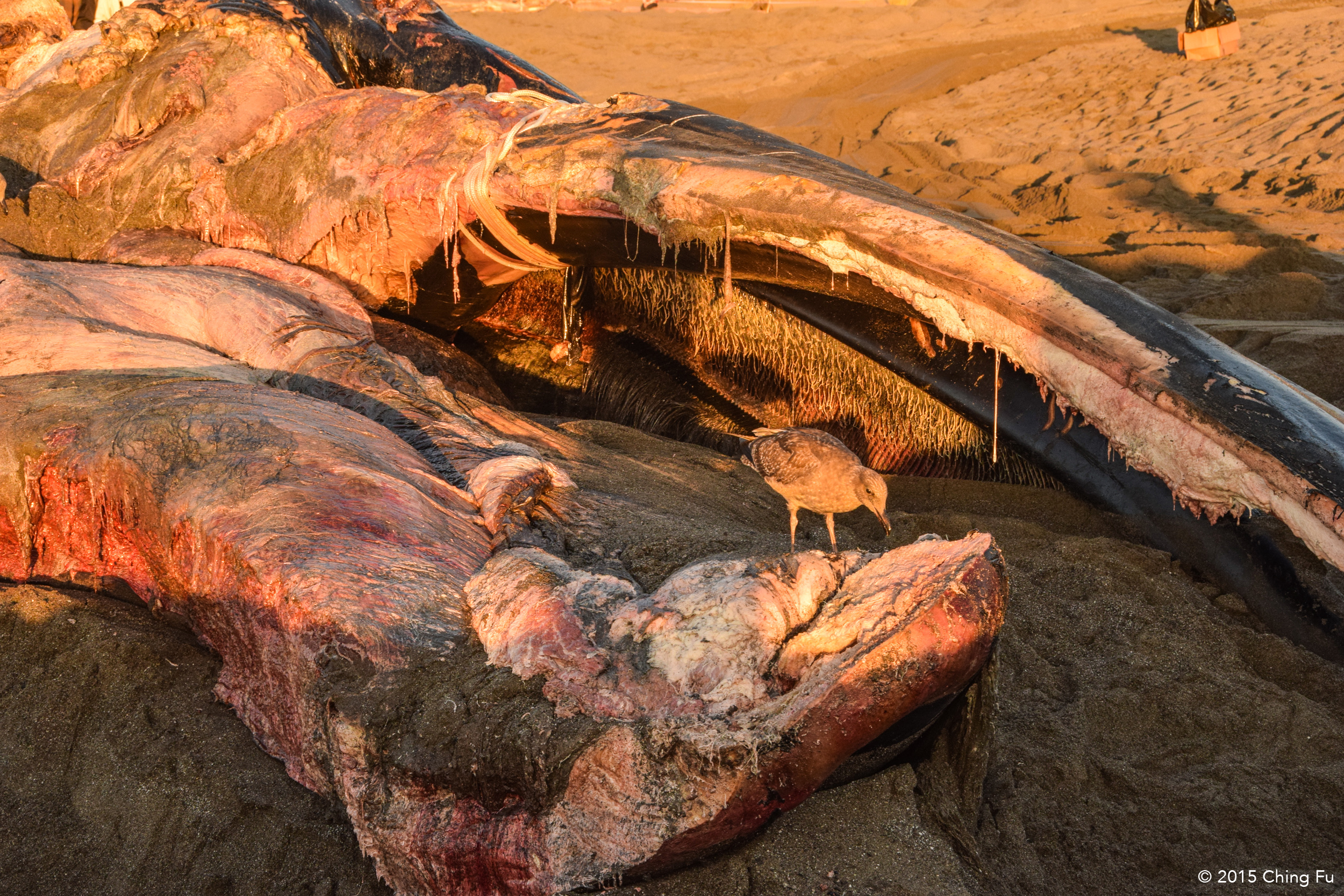
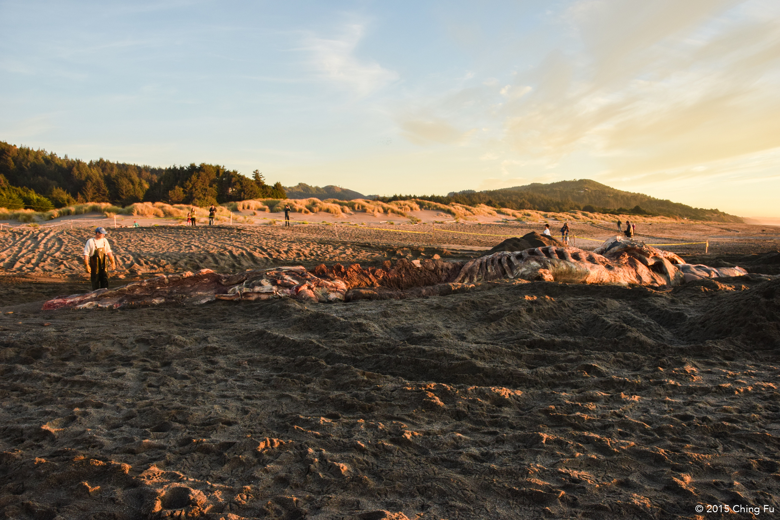
We quickly packed up and headed over to Gold Beach. Blue whales are rare in Oregon so this is a big deal, even bigger deal for us. Although we wish we could have seen a blue whale under different circumstances, this was still a unique and interesting opportunity. Biologists had been working on the dead whale since two days ago, removing his blubber, muscles and meat so that its skeleton could be harvested, preserved and then displayed for educational purposes. They had a fire going on the beach and would feed it with whale blubber. This blue whale was not fully grown, but still weighed up to 100 tons and was 78 ft. long. While researchers weren’t sure what killed the whale (it was dead by the time it washed on shore), but they think he was really weak because he was emaciated (potentially caused by ocean warming which harms marine life, aka its food source) and there were orca and shark bike marks on him.
Chainsawing through the jawbone of the whale.
When we got to the whale, researchers were trying to chainsaw through its jawbone so it could be flipped over and they could continue removing meat on its other side. Most of the whale was removed at this point and it was hard to decipher what exactly we were looking at, but we could still appreciate its length and size. The tide was coming in and they were slowly finishing up for the day. We were warned to stay away from the water because there was a shark that was hanging out close by because of the whale. When the researchers finally cut through the jawbone (it took a long time), we were able to walk to the other side, which apparently was also the direction the wind was blowing. Wow, the smell was strong. That evening when Jerud used fish sauce to make dinner, he said it smelled exactly like the dead blue whale.
CAPE SEBASTAIN STATE PARK
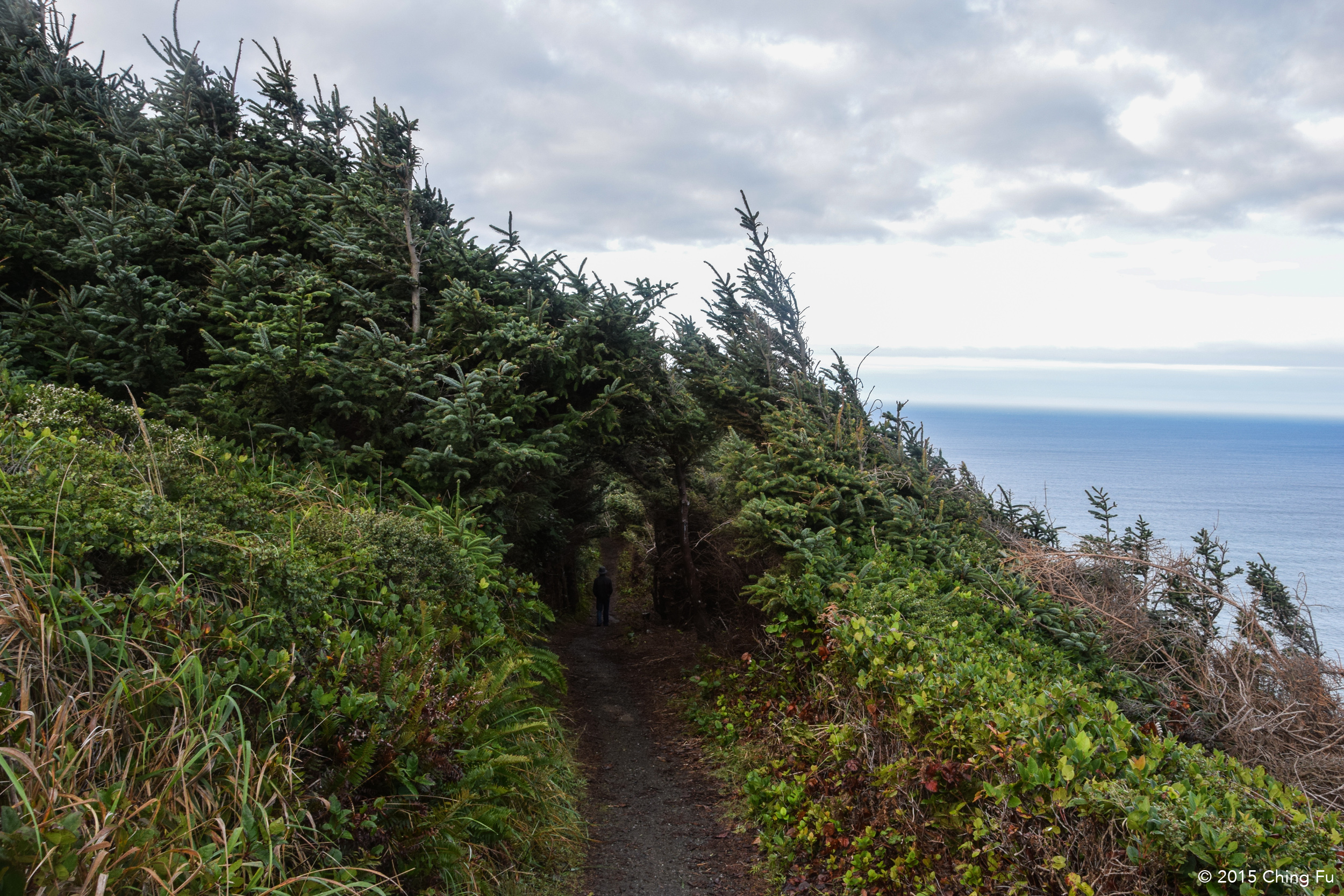
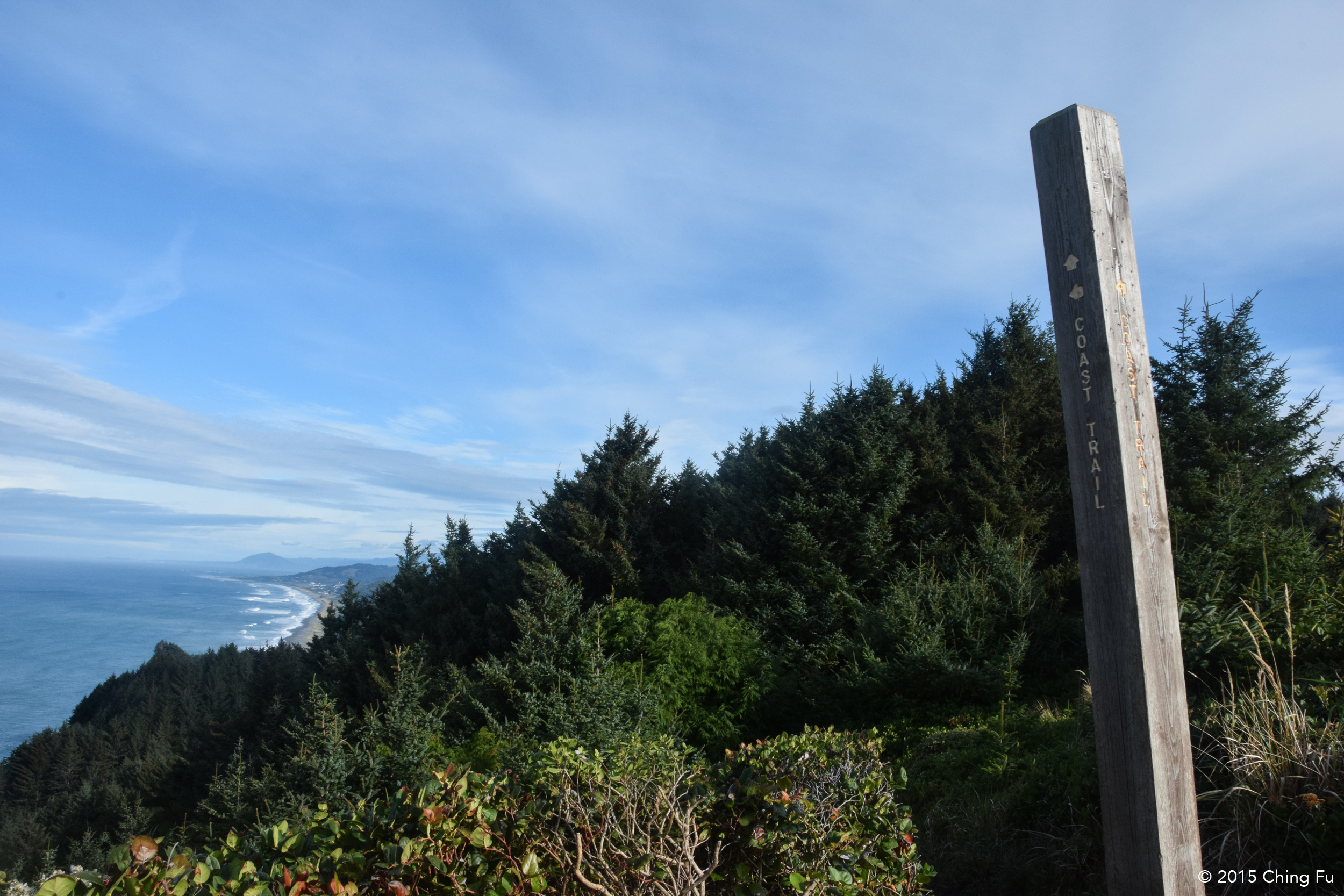
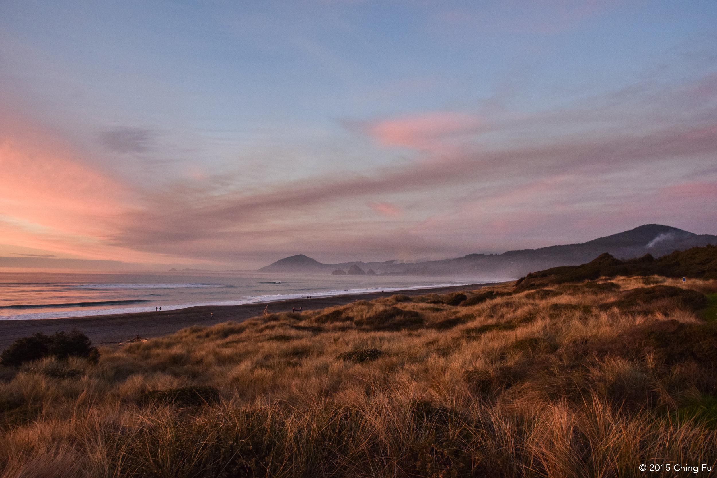
We woke up the next day at Cape Sebastian State Park. We had gotten back on the road in the dark after seeing the blue whale and had a really hard time finding a place to stay for the night. Randomly we pulled into Cape Sebastian State Park and found a spot to park for the night. Turned out it was a great spot with a 180° view of the ocean and coastline. In the morning we found that the Oregon Coast Trail was right in front of us, beckoning to be hiked.
