Hiking Convict Lake Loop Trail In California
A lot of the sites I found online about Convict Lake Loop Trail said it’s “heavily trafficked”. We avoided crowds by going early in the day, but this trail has all the makings of a popular destination and traffic was picking up as we left the trailhead.
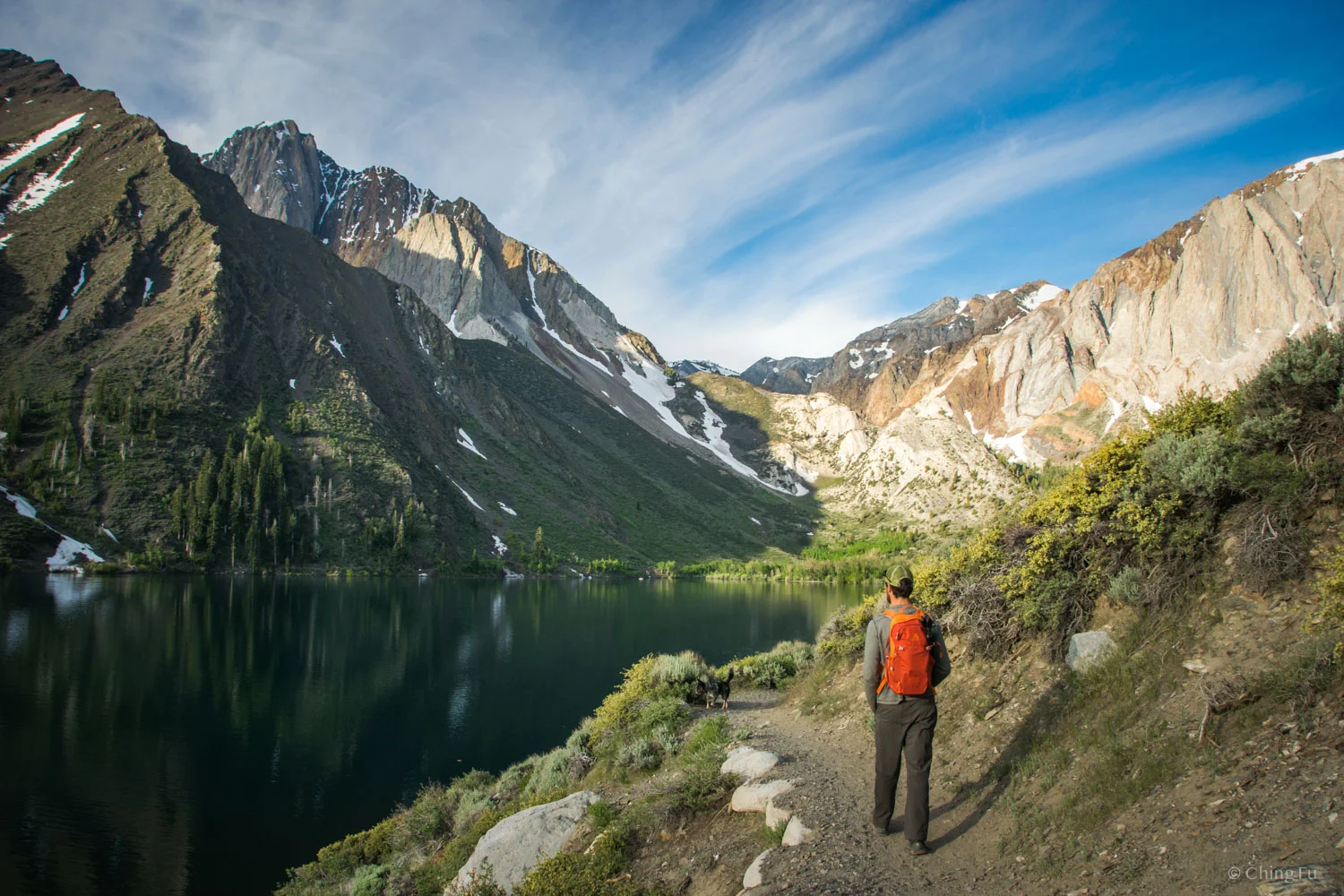
Convict Lake with views of Laurel Mountain.
Easily Accessible
Getting to Convict Lake is a short drive off Hwy 395 on paved roads and supposedly one of the few lakes in the Mammoth Lakes area (California) you can drive to. There’s an RV-friendly campground right next to the lake. Since the trail around Convict Lake is a loop, there are two trailheads: one is right next to the marina (yes, there’s a small marina!) and the other is at the south side of the lake. The directions we found on AllTrails weren’t very clear about getting to the latter, so I’m going to give it a try: From Hwy 395 turn south onto Convict Lake Rd. and drive straight until you’re at a T-intersection with the lake in front of you. Turn left at this intersection and drive clockwise around the lake until the road dead ends into the trailhead parking lot. If you decide to park in any of the spots near the T-intersection mentioned above, there is a handicap-accessible trail which also connects to this south-side trailhead.
Trail Length
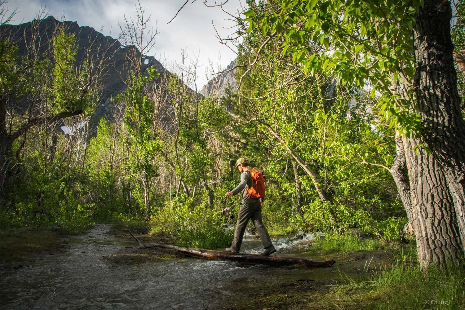
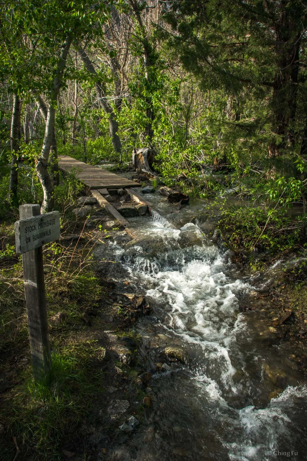
The length and ease of the trail was one reason I chose this hike, since I was still recovering from my Achilles surgery. Convict Lake Loop Trail is a fairly flat 2.5-mile hike that stays along the edge of the lake most of the way. But we did come across an unexpected section of the trail. Around the middle of the loop, the trail was washed away by the large amount of snowmelt (the Sierras had a big snow year). The weather had been really warm (high 80s to low 90s) the days before our hike, so the creek was at full-blast. This meant we had to either get our feet wet (not a big deal) or walk across two makeshift “bridges” (also not a big deal). In return, we got to experience the boardwalk section of the hike with snowmelt rushing underneath our feet. That was fantastic.
Part way along the loop is another trail that leaves Inyo National Forest and enters John Muir Wilderness. A wooden sign at this intersection states that Mildred Lake and Lake Dorothy are 5 – 6 miles further up the mountain.
Jerud crossing the makeshift “bridge”.
Snowmelt rushing all around us at the boardwalk.
A big snow year means lots of water come summer.
Scenery
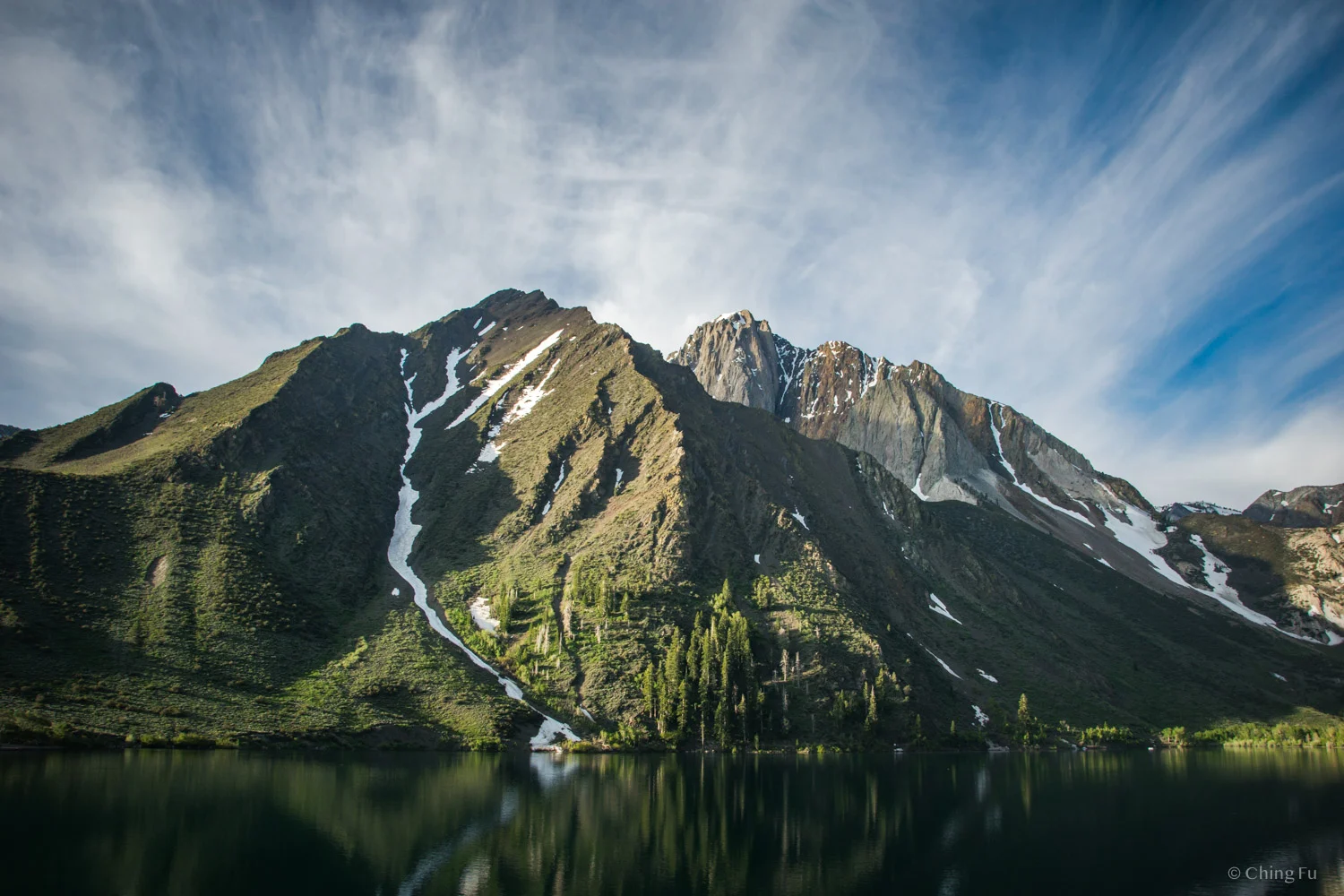
People are not misleading when they describe the scenery as dramatic. Convict Lake is encircled by the towering Sherwin Range of the Sierra Nevada. The most eye-catching peak is Laurel Mountain, standing broadly above the lake. To the south are Mt. Morrison, and in front is Mono Jim Peak.
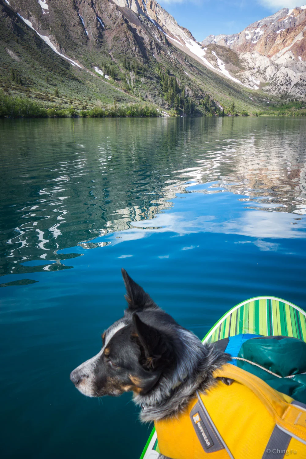
Early morning, the lake was dotted with fishing boats and fishermen lined up along the shores. As the sun rises high above the horizon, the lake becomes a vibrant teal color and day users start showing up.
This hike is worth checking out if you have extra time, but I wouldn’t recommend making plans around it due to its popularity.
Mono Jim Peak with Mt. Morrison in the background.
Side story
On September 17, 1871, 29 convicts broke out of a Nevada penitentiary in Carson City. A group of them fled towards Inyo National Forest to seek refuge and eventually ended at this lake. It was here that a shootout occurred, wounding a few of the prisoners and killing two locals. Settlers renamed the lake from its original Paiute name of Wit-sa-nap to Convict Lake after this incident. Mt. Morrison and Mono Jim Peak were named after the two locals who died: Wells Fargo agent Robert Morrison and Indian deputy Mono Jim.
The Story of Inyo talks about this jailbreak in more detail.
Tips
If you’re not a fan of wet feet or not steady walking across narrow logs posing as bridges, you may want to wear waterproof hiking shoes and/or bring hiking poles when hiking this trail early summer.
Despite hiking this trail in the middle of the week at 7 AM, we still came across a few people along the way. Start your hike as early as possible to avoid the crowds.
I’d recommend hiking the loop counterclockwise for scenery purposes. In this direction, you’ll get better views of the peaks surrounding the mountain for a longer portion of the hike.
It wasn’t clear to us until too late, but the loop trail actually connects to the handicap trail near the shoreline back to the T-intersection mentioned above.
There’s a water spigot by the bathrooms located near the T-intersection. It’s the thread-less kind that you need to manually hold open.
Bring your kayak, paddleboard, or canoe if you own one. It’s great to go paddling after the hike.
We visited the lake on June 12, 2019.


