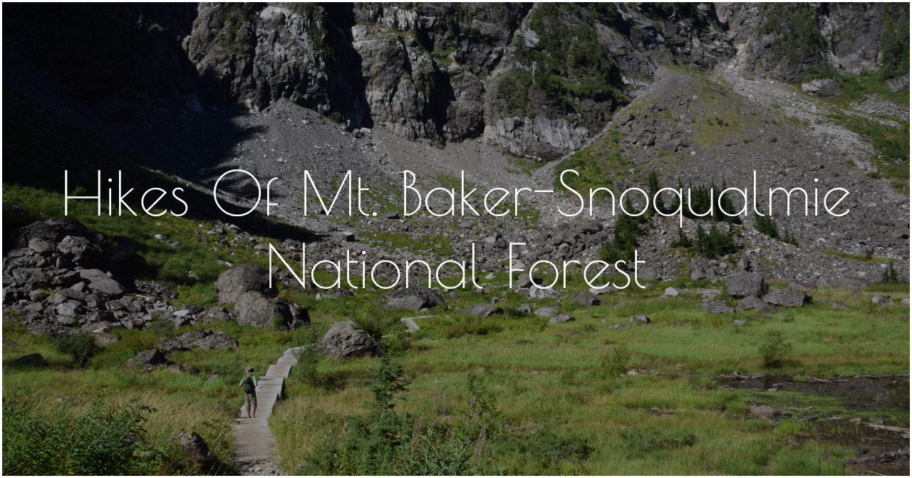
Salida - Part 2: Dirt, Snow & Water
After walking out of Salida Mountain Sports and Absolute Bikes with maps and a list of trails to check out, Jerud and I felt eager, excited and overwhelmed. Salida has so many trails that it would take years to complete any large portion of them. I have to remind myself that it’s ok that we won’t be able to see and do all trails, and that we’re living on the road now which means coming back will be a lot easier than traveling in our previous lifestyle.
Here are the trails that we were able to check out during our stay in Salida:
Arkansas River
The Arkansas Headwaters Recreation Area and the Arkansas River are pillars of Salida's recreation existence. The Arkansas Headwaters Recreation Area runs 150 miles along the river from Leadville, CO to Pueblo, CO. The Arkansas River is the 6th longest river in the U.S. and 45th longest river in the world at 1,469 miles. The river itself is extremely popular for fishing and whitewater boating. Salida is proud to host the oldest whitewater festival in the U.S. – FIBArk. During our stay we saw a handful of rafts go down the river. We really wanted to take our two-person Alpacka Raft on the water, but with paddling not being our strongest suit, April wasn’t the best time of year for us to get on the water with the Alpacka for the first time ever. Instead we took the opportunity to hike along the river and let the dogs thoroughly enjoy playing in the water.
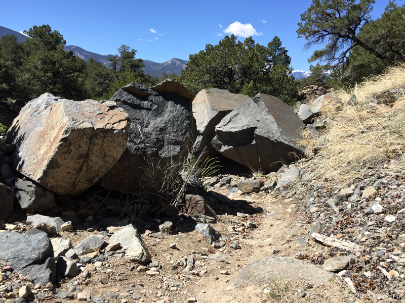
On CR 102 off Hwy 50 you will see this old tank with a tiny arrow painted on the concrete legs indicating BLM land is to the right.
You can drive next to the abandoned tracks along the arkansas river in the arkansas river recreation area to get to a hiking trail across from Salida East.
An easy bike ride over to the other side of the river where the good splashing spots were for Tybee.
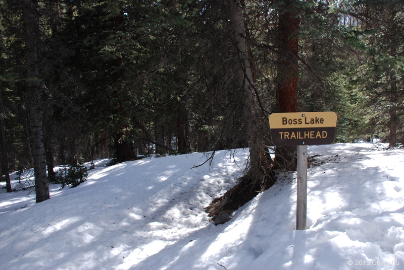
Boss Lake
Boss Lake was our screw-up hike. Despite us having many, many years of hiking experience between the two of us, we kept forgetting a couple of main differences hiking in Colorado than back home – April doesn’t mean spring yet and there will be snow at the higher elevations even if there’s none in town (this is true for Asheville except that we don't see a lot of snow). It was late in the day when we started our hike out, initially to Hunt Lake. Boss Lake is located before Hunt Lake on the trail. It was supposed to be about a 4 mile round trip hike – a fairly quick hike we thought. The 4x4 road that leads up to the Boss Lake trailhead was closed so we parked at the snowmobile shop located right off US 50 (there is a specific spot for hikers to park by the shop during the busy season). We brought snowshoes with us but for whatever stupid reason we didn’t actually bring it on the hike with us. After we started our hike on the 4x4 road we were glad we didn’t try to drive up it, it was a chunky road.
The road was covered in snow a quarter of the way up and we wondered what the trail would look like.
Boss Lake trailhead is a lot higher than the parking lot and in the trees so we weren't totally surprised when we saw that the trail was covered in snow, but we felt really silly for leaving the snowshoes in the car. Being as stubborn as we are, we pushed on. The snow was deep, the trail was steep and we kept postholing. We already had readjusted our plan and were going to turn around once we got to Boss Lake instead of going to Hunt Lake. We figured we could make it to Boss Lake – after all, it was only around a mile after the trailhead. But we ended up turning around before we made it. The continuously postholing in knee deep snow while hiking up really steep trail late in the afternoon was just turning into a stupid decision. And in addition to that, Tyki’s tongue had turned purple!

S Mountain
S Mountain, aka Tenderfoot Mountain, is the mountain that sits in the middle of downtown Salida with a big white S on the face of the mountain. The Arkansas Hills Trail System on S Mountain is probably their most ridden trail system in the area because of its easy accessibility. While in downtown we saw tons of mountain bikers riding to and from S Mountain and lots of cars parked at the base. We rode out there on two separate occasions. The trails are amazing – a great mix of style, features, and riding levels. And the scenery is just beautiful.
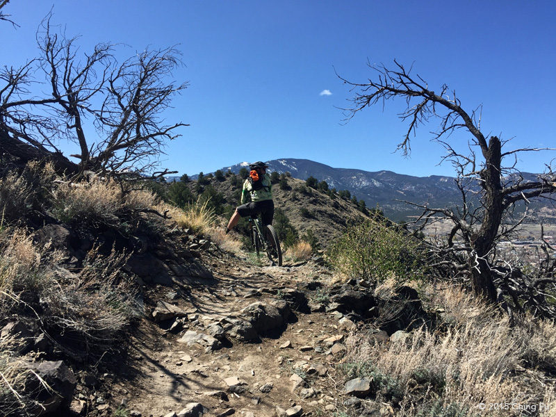
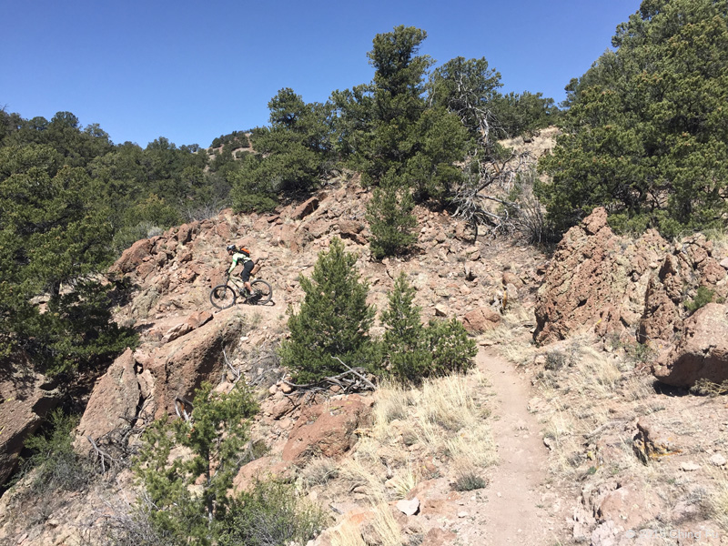
The first time we went mountain biking there we rode from Salida East Recreation Area, where we were boondocking, to the trailhead. The road we ended up taking, we realized later, was not CR 102 - the road we were after. It still got us to the trailhead, but it was rutted out, loose rocks, and steep. Not what we expected.
The road starts off flat and easy, and then bam, it's all loose rocks.
View of S mountain from the side.
The next time we rode into town we took the correct CR 102 (it’s the road that follows the railroad tracks on the side closer to Hwy 50). But we were on our commuter bikes pulling Tybee’s trailer full of dirty laundry. The flat road was covered in loose dirt and gravel, bumpy and full of holes – fine for mountain bikes but a bit uncomfortable on the commuter bike. One trail we really wanted to ride was Cottonwood Trail, which is their newest trail and is supposed to be super fast, techie, and just plain fun. But it snowed on us before we could ride it.
We were told by our friends Jen and Josh that the Sand Dunes Trail on S Mountain actually has a sand dune! For whatever reason the wind deposits all the sand it picks up on that trail. So we had to go see for ourselves.
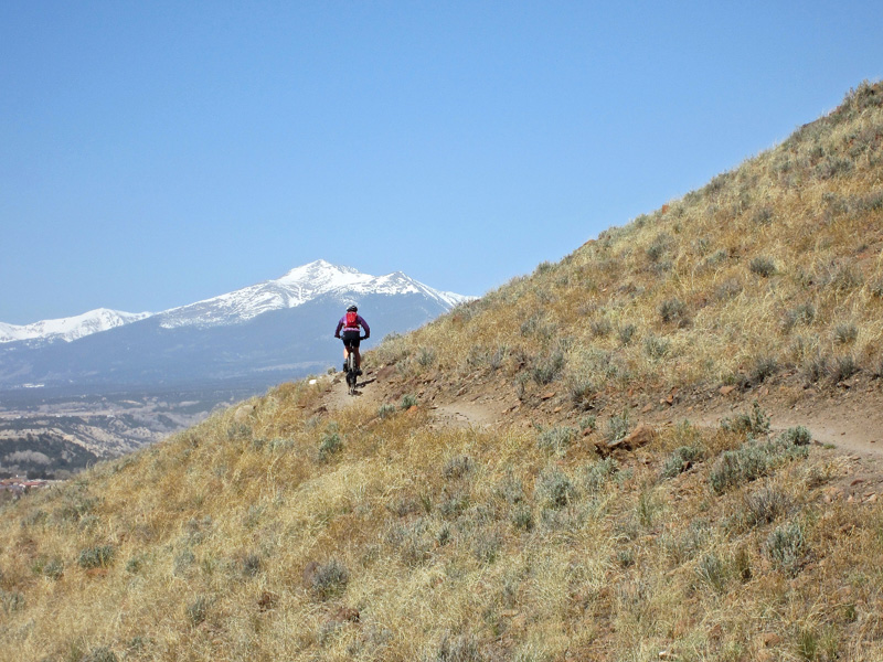
Methodist Mountain
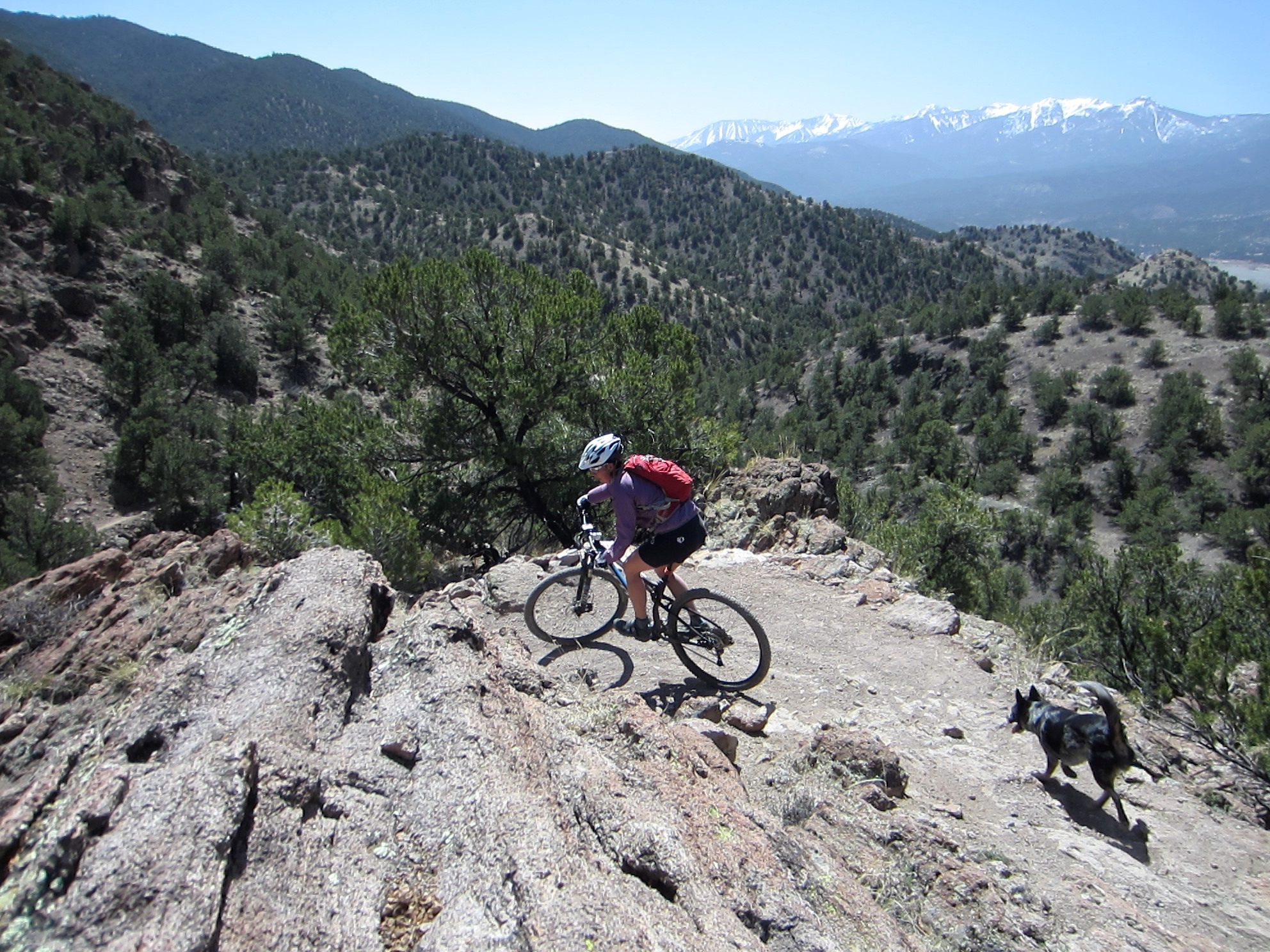
Methodist Mountain is in the Sangre de Cristo Range and located 1 mile down and across Hwy 50 from Salida East Recreation Area, by the Burmack store sign. The mountain biking trails on Methodist Mountain are a lot tamer and easier than S Mountain. This is a great beginner friendly trail. Throughout our ride we had views of Salida, S Mountain, Mt. Shavano, and San Isabel National Forest. Our route was a simple out and back (the last trail we took was Lost, which we didn't take on the way in).
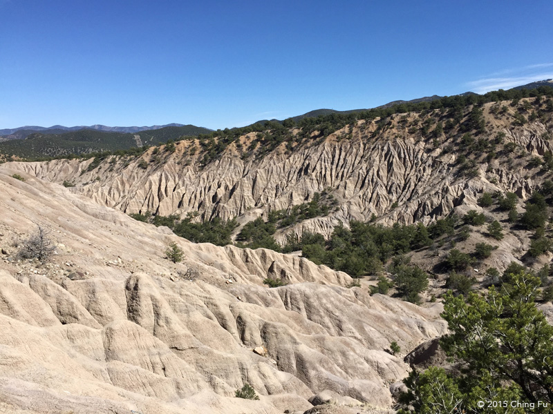
On our way up Race Track at the start of our ride we came across this view and were stunned. It looked like nothing else in the area.
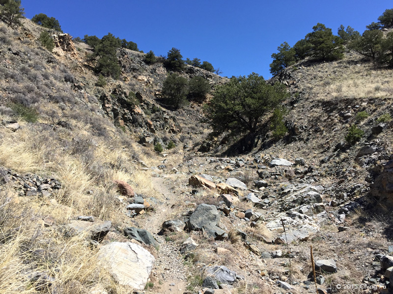
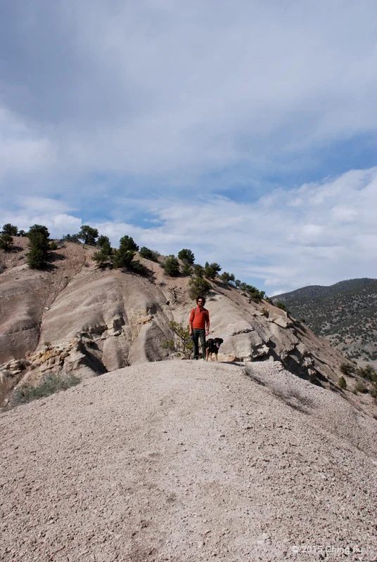
Unnamed
This particular hiking area was recommended to us by Salida locals because it would be a good hike for Tybee - short, flat and relatively easy. I'm leaving it unnamed because I get the feeling that they'd rather keep it on the quiet side. Email me if you're heading to Salida and want to check it out. But I'll give you one hint - we are hiking inside the view in the photo above.


Waterdog Lakes Trail
We redeemed ourselves after the Boss Lake fail and were prepared for the snow on Waterdog Lakes Trail. This is a 4 mile roundtrip hike that goes up to 11,000 ft. It's a steep hike that supposedly follows the powerline (that's what we were told) but we followed tracks that veered into the woods for the most part by a snowshoer we met towards the beginning of our hike.
The trailhead is kind of hidden off Hwy 50.
The last bit of the hike was a steep climb up this snow-filled bowl, I kept picturing how fun it would be to snowboard down it. Once you peak out the top of the bowl you are staring at Waterdog Lakes, which was frozen and looked like one big lake to us. A bunch of even taller snow covered peaks stood behind the lakes.


We also learned on this hike that you can posthole while snowshoeing. And it's hilarious to watch the other person try and get back up.